Area Overview for RG18 9HZ
Photos of RG18 9HZ
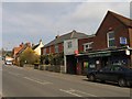
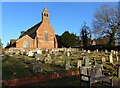
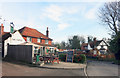
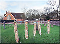
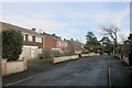
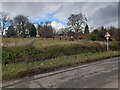
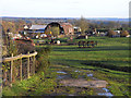
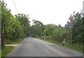
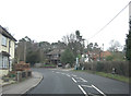
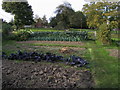
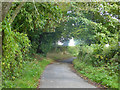
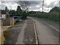
12 photos from this area
Area Information
Key information about the RG18 9HZ including its size, population, and administrative classification.
- Area Type
- Postcode
- Area Size
- 4.6 hectares
- Population
- 1373
- Population Density
- 726 people/km²
House Prices in RG18 9HZ
24
Properties
£732,247
Average Sold Price
£142,500
Lowest Price
£1,450,000
Highest Price
Showing 24 properties
| Address | Type | Beds | Baths | Last Sale Price | Last Sale Date | |
|---|---|---|---|---|---|---|
| Ridgeway House, The Ridge, Cold Ash, Thatcham, RG18 9HZ | Detached | 4 | 2 | £990,000 | Feb 2025 | |
| Heather Cottage, The Ridge, Cold Ash, Thatcham, RG18 9HZ | house | - | - | £770,000 | Oct 2022 | |
| Applewood House, The Ridge, Cold Ash, Thatcham, RG18 9HZ | house | 5 | - | £1,395,000 | Sep 2022 | |
| Southcote, The Ridge, Cold Ash, Thatcham, RG18 9HZ | house | - | - | £1,175,000 | Aug 2022 | |
| Greenbanks, The Ridge, Cold Ash, Thatcham, RG18 9HZ | Detached | 5 | 3 | £985,000 | Jan 2022 | |
| Brambles, The Ridge, Cold Ash, Thatcham, RG18 9HZ | house | - | - | £1,025,000 | May 2019 | |
| Glenthorne, The Ridge, Cold Ash, Thatcham, RG18 9HZ | Detached | 4 | 3 | £789,000 | May 2017 | |
| Thistlewood, The Ridge, Cold Ash, Thatcham, RG18 9HZ | Semi-detached | 3 | 1 | £520,000 | Mar 2016 | |
| Twin Chimneys, The Ridge, Cold Ash, Thatcham, RG18 9HZ | house | 5 | 3 | £1,450,000 | Nov 2014 | |
| Portofino House, The Ridge, Cold Ash, Thatcham, RG18 9HZ | Detached | 4 | 3 | £797,500 | Aug 2014 |
Page 1 of 3
Energy Efficiency in RG18 9HZ
Amenities
Schools
| Rank | School | Type | Entry gender | Ages |
|---|
Explore more schools in this area
Go to Schools tabDemographics
Household Size
Two person
most common
Accommodation Type
Houses
most common
Tenure
83
majority
Ethnic Group
White
most common
Religion
N/A
most common
Household Composition
N/A
most common
Age
47
median
Adults (30-64 years)
most common
Household Deprivation
N/A
with no deprivation
NS-SEC
44
in Lower managerial occupations
Explore more demographic insights in this area
Go to Demographics tabPlanning
Planning Constraints
- Flood RiskPremium
- Ramsar Wetland SitesPremium
- Area of Outstanding Natural BeautyPremium
- Protected Nature ReservePremium
- Protected WoodlandPremium