Area Overview for RG18 9HG
Photos of RG18 9HG
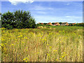
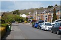
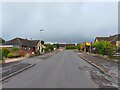
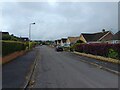
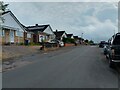
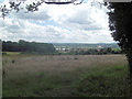
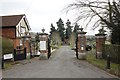


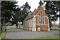
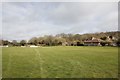
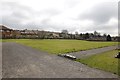
34 photos from this area
Area Information
Key information about the RG18 9HG including its size, population, and administrative classification.
- Area Type
- Postcode
- Area Size
- 23.3 hectares
- Population
- 3265
- Population Density
- 333 people/km²
House Prices in RG18 9HG
20
Properties
£1,657,995
Average Sold Price
£184,950
Lowest Price
£12,501,000
Highest Price
Showing 20 properties
| Address | Type | Beds | Baths | Last Sale Price | Last Sale Date | |
|---|---|---|---|---|---|---|
| Longlea, Stoney Lane, Ashmore Green, Thatcham, RG18 9HG | Detached | 4 | 3 | £760,000 | Jan 2023 | |
| COLEY FARM, STONEY LANE, Ashmore Green, Thatcham, RG18 9HG | Detached | 4 | 3 | £12,501,000 | May 2022 | |
| Everest, Stoney Lane, Ashmore Green, Thatcham, RG18 9HG | Detached | 5 | 4 | £1,635,000 | Nov 2018 | |
| Wayside, Stoney Lane, Ashmore Green, Thatcham, RG18 9HG | Detached | 5 | 3 | £543,000 | May 2017 | |
| Hartgrove Cottage, Stoney Lane, Ashmore Green, Thatcham, RG18 9HG | Detached | 4 | 2 | £515,000 | Aug 2014 | |
| Hillborough House, Stoney Lane, Ashmore Green, Thatcham, RG18 9HG | Detached | 5 | 4 | £900,000 | Nov 2012 | |
| St Anthonys, Stoney Lane, Ashmore Green, Thatcham, RG18 9HG | Detached | - | - | £412,000 | May 2006 | |
| Newlyn, Stoney Lane, Ashmore Green, Thatcham, RG18 9HG | Detached | - | - | £385,000 | Aug 2002 | |
| Downs View, Stoney Lane, Ashmore Green, Thatcham, RG18 9HG | Detached | - | - | £215,000 | Jun 2000 | |
| Ridgewood, Stoney Lane, Ashmore Green, Thatcham, RG18 9HG | Detached | - | - | £187,000 | Dec 1997 |
Page 1 of 2
Energy Efficiency in RG18 9HG
Amenities
Schools
| Rank | School | Type | Entry gender | Ages |
|---|
Explore more schools in this area
Go to Schools tabDemographics
Household Size
Family (3-5 people)
most common
Accommodation Type
Houses
most common
Tenure
78
majority
Ethnic Group
White
most common
Religion
N/A
most common
Household Composition
N/A
most common
Age
47
median
Adults (30-64 years)
most common
Household Deprivation
N/A
with no deprivation
NS-SEC
49
in Lower managerial occupations
Explore more demographic insights in this area
Go to Demographics tabPlanning
Planning Constraints
- Flood RiskPremium
- Ramsar Wetland SitesPremium
- Area of Outstanding Natural BeautyPremium
- Protected Nature ReservePremium
- Protected WoodlandPremium