Area Overview for RG18 3EF
Photos of RG18 3EF
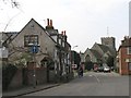
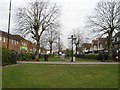
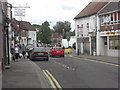
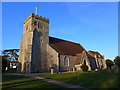
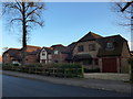
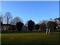
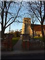
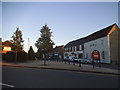
55 photos from this area
Area Information
Key information about the RG18 3EF including its size, population, and administrative classification.
- Area Type
- Postcode
- Area Size
- 1.7 hectares
- Population
- 1533
- Population Density
- 6209 people/km²
House Prices in RG18 3EF
54
Properties
£180,380
Average Sold Price
£58,000
Lowest Price
£348,000
Highest Price
Showing 54 properties
| Address | Type | Beds | Baths | Last Sale Price | Last Sale Date | |
|---|---|---|---|---|---|---|
| 47 Browning Close, Thatcham, RG18 3EF | house | 3 | 1 | £345,000 | Sep 2024 | |
| 33 Browning Close, Thatcham, RG18 3EF | Semi-detached | 3 | 1 | £327,000 | Mar 2024 | |
| 22 Browning Close, Thatcham, RG18 3EF | Semi-detached | 3 | 1 | £348,000 | Feb 2023 | |
| 15 Browning Close, Thatcham, RG18 3EF | Terraced | 3 | 1 | £342,500 | Nov 2022 | |
| 19 Browning Close, Thatcham, RG18 3EF | Terraced | 3 | 1 | £305,000 | Sep 2022 | |
| 9 Browning Close, Thatcham, RG18 3EF | Retail | 3 | 1 | £337,000 | May 2022 | |
| 4 Browning Close, Thatcham, RG18 3EF | Semi-detached | 3 | - | £290,000 | Sep 2021 | |
| 49 Browning Close, Thatcham, RG18 3EF | Terraced | 3 | 1 | £264,500 | Dec 2018 | |
| 55 Browning Close, Thatcham, RG18 3EF | Terraced | 3 | - | £260,000 | Mar 2018 | |
| 19A Browning Close, Thatcham, RG18 3EF | Terraced | 3 | 2 | £315,000 | Nov 2017 |
Page 1 of 6
Energy Efficiency in RG18 3EF
Amenities
Schools
| Rank | School | Type | Entry gender | Ages |
|---|
Explore more schools in this area
Go to Schools tabDemographics
Household Size
Family (3-5 people)
most common
Accommodation Type
Houses
most common
Tenure
59
majority
Ethnic Group
White
most common
Religion
N/A
most common
Household Composition
N/A
most common
Age
47
median
Adults (30-64 years)
most common
Household Deprivation
N/A
with no deprivation
NS-SEC
29
in Lower managerial occupations
Explore more demographic insights in this area
Go to Demographics tabPlanning
Planning Constraints
- Flood RiskPremium
- Ramsar Wetland SitesPremium
- Area of Outstanding Natural BeautyPremium
- Protected Nature ReservePremium
- Protected WoodlandPremium