Area Overview for RG17 9UT
Photos of RG17 9UT
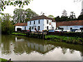


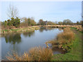
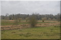
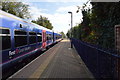
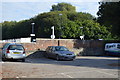
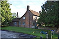
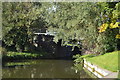
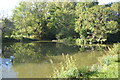
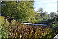
105 photos from this area
Area Information
Key information about the RG17 9UT including its size, population, and administrative classification.
- Area Type
- Postcode
- Area Size
- 13.0 hectares
- Population
- 1589
- Population Density
- 90 people/km²
House Prices in RG17 9UT
17
Properties
£497,493
Average Sold Price
£155,000
Lowest Price
£1,010,000
Highest Price
Showing 17 properties
| Address | Type | Beds | Baths | Last Sale Price | Last Sale Date | |
|---|---|---|---|---|---|---|
| Turners Barn, Station Road, Kintbury, Hungerford, RG17 9UT | house | - | - | £1,010,000 | Jan 2023 | |
| Kennet House, 27 Station Road, Kintbury, Hungerford, RG17 9UT | Detached | 5 | 2 | £915,000 | Aug 2020 | |
| 51 Station Road, Kintbury, Hungerford, RG17 9UT | house | 4 | - | £820,000 | Apr 2018 | |
| 49 Station Road, Kintbury, Hungerford, RG17 9UT | Semi-detached | 2 | 1 | £249,950 | Oct 2001 | |
| Canal Cottage, Station Road, Kintbury, Hungerford, RG17 9UT | Detached | - | - | £167,500 | Dec 1999 | |
| Station House, Station Road, Kintbury, Hungerford, RG17 9UT | Detached | - | - | £165,000 | May 1997 | |
| 47 Station Road, Kintbury, Hungerford, RG17 9UT | Detached | - | - | £155,000 | Sep 1995 | |
| 45 Station Road, Kintbury, Hungerford, RG17 9UT | Detached | 5 | 5 | - | - | |
| Kintbury Park, Station Road, Kintbury, Hungerford, RG17 9UT | Detached | - | - | - | - | |
| Tudor Cottage, Station Road, Kintbury, Hungerford, RG17 9UT | Bungalow | 2 | 1 | - | - |
Page 1 of 2
Energy Efficiency in RG17 9UT
Amenities
Schools
| Rank | School | Type | Entry gender | Ages |
|---|
Explore more schools in this area
Go to Schools tabDemographics
Household Size
Two person
most common
Accommodation Type
Houses
most common
Tenure
70
majority
Ethnic Group
White
most common
Religion
N/A
most common
Household Composition
N/A
most common
Age
47
median
Adults (30-64 years)
most common
Household Deprivation
N/A
with no deprivation
NS-SEC
43
in Lower managerial occupations
Explore more demographic insights in this area
Go to Demographics tabPlanning
Planning Constraints
- Flood RiskPremium
- Ramsar Wetland SitesPremium
- Area of Outstanding Natural BeautyPremium
- Protected Nature ReservePremium
- Protected WoodlandPremium