Area Overview for RG17 0QN
Photos of RG17 0QN
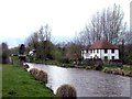
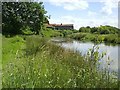
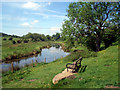
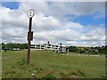
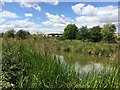
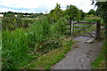
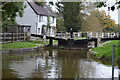
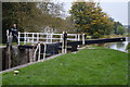
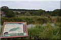
69 photos from this area
Area Information
Key information about the RG17 0QN including its size, population, and administrative classification.
- Area Type
- Postcode
- Area Size
- 18.5 hectares
- Population
- 1489
- Population Density
- 1592 people/km²
House Prices in RG17 0QN
25
Properties
£398,000
Average Sold Price
£152,000
Lowest Price
£600,000
Highest Price
Showing 25 properties
| Address | Type | Beds | Baths | Last Sale Price | Last Sale Date | |
|---|---|---|---|---|---|---|
| 6 Marsh Lane, Hungerford, RG17 0QN | Land | 4 | - | £365,000 | Nov 2012 | |
| Brooklea, Marsh Lane, Hungerford, RG17 0QN | Detached | - | - | £475,000 | Sep 2006 | |
| The Orchard, Marsh Lane, Hungerford, RG17 0QN | Detached | - | - | £600,000 | May 2006 | |
| Kingfishers, Marsh Lane, Hungerford, RG17 0QN | Detached | 4 | - | £152,000 | May 1998 | |
| Bel Air, Marsh Lane, Hungerford, RG17 0QN | Detached | 5 | 3 | - | - | |
| 2 Marsh Lane, Hungerford, RG17 0QN | Detached | 4 | 1 | - | - | |
| 5 Marsh Lane, Hungerford, RG17 0QN | Detached | 4 | - | - | - | |
| 1 Marsh Lane, Hungerford, RG17 0QN | Detached | 4 | 2 | - | - | |
| Isbury Cottage, Marsh Lane, Hungerford, RG17 0QN | Bungalow | - | - | - | - | |
| 4, Marshgate Apartments, Marsh Lane, Hungerford, RG17 0QN | Flat | 2 | 1 | - | - |
Page 1 of 3
Energy Efficiency in RG17 0QN
Amenities
Schools
| Rank | School | Type | Entry gender | Ages |
|---|
Explore more schools in this area
Go to Schools tabDemographics
Household Size
Two person
most common
Accommodation Type
Houses
most common
Tenure
67
majority
Ethnic Group
White
most common
Religion
N/A
most common
Household Composition
N/A
most common
Age
47
median
Adults (30-64 years)
most common
Household Deprivation
N/A
with no deprivation
NS-SEC
38
in Lower managerial occupations
Explore more demographic insights in this area
Go to Demographics tabPlanning
Planning Constraints
- Flood RiskPremium
- Ramsar Wetland SitesPremium
- Area of Outstanding Natural BeautyPremium
- Protected Nature ReservePremium
- Protected WoodlandPremium