Area Overview for RG14 7HW
Photos of RG14 7HW
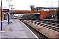
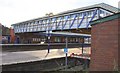
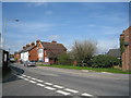
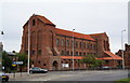
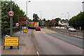
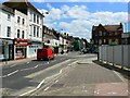
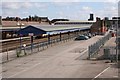
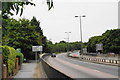
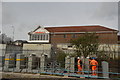
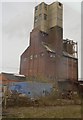
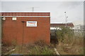
100 photos from this area
Area Information
Key information about the RG14 7HW including its size, population, and administrative classification.
- Area Type
- Postcode
- Area Size
- 3.6 hectares
- Population
- 1519
- Population Density
- 3974 people/km²
House Prices in RG14 7HW
79
Properties
£118,762
Average Sold Price
£35,000
Lowest Price
£240,000
Highest Price
Showing 79 properties
| Address | Type | Beds | Baths | Last Sale Price | Last Sale Date | |
|---|---|---|---|---|---|---|
| 64 Eeklo Place, Newbury, RG14 7HW | Flat | 1 | 1 | £105,000 | Sep 2025 | |
| 7 Eeklo Place, Newbury, RG14 7HW | Terraced | 1 | 1 | £220,000 | Mar 2025 | |
| 19 Eeklo Place, Newbury, RG14 7HW | Flat | - | - | £181,000 | May 2024 | |
| 32 Eeklo Place, Newbury, RG14 7HW | Flat | 1 | 1 | £137,500 | Apr 2024 | |
| 70 Eeklo Place, Newbury, RG14 7HW | Flat | 1 | 1 | £125,000 | Mar 2024 | |
| 21 Eeklo Place, Newbury, RG14 7HW | Flat | - | - | £181,000 | Apr 2023 | |
| 25 Eeklo Place, Newbury, RG14 7HW | Flat | - | 1 | £130,000 | Mar 2023 | |
| 73 Eeklo Place, Newbury, RG14 7HW | Flat | - | - | £165,000 | Mar 2023 | |
| 24 Eeklo Place, Newbury, RG14 7HW | Flat | 1 | 1 | £124,000 | Aug 2021 | |
| 30 Eeklo Place, Newbury, RG14 7HW | Flat | - | - | £127,500 | Aug 2021 |
Page 1 of 8
Energy Efficiency in RG14 7HW
Amenities
Schools
| Rank | School | Type | Entry gender | Ages |
|---|
Explore more schools in this area
Go to Schools tabDemographics
Household Size
Two person
most common
Accommodation Type
Houses
most common
Tenure
79
majority
Ethnic Group
White
most common
Religion
N/A
most common
Household Composition
N/A
most common
Age
47
median
Adults (30-64 years)
most common
Household Deprivation
N/A
with no deprivation
NS-SEC
40
in Lower managerial occupations
Explore more demographic insights in this area
Go to Demographics tabPlanning
Planning Constraints
- Flood RiskPremium
- Ramsar Wetland SitesPremium
- Area of Outstanding Natural BeautyPremium
- Protected Nature ReservePremium
- Protected WoodlandPremium