Area Overview for RG14 6QJ
Photos of RG14 6QJ
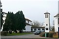
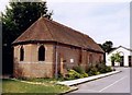
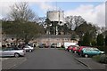
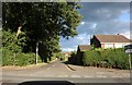
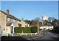
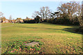
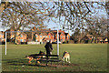
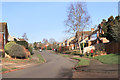
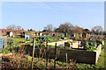
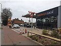
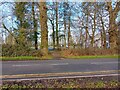
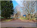
100 photos from this area
Area Information
Key information about the RG14 6QJ including its size, population, and administrative classification.
- Area Type
- Postcode
- Area Size
- 6453 m²
- Population
- 1625
- Population Density
- 4271 people/km²
House Prices in RG14 6QJ
9
Properties
£550,188
Average Sold Price
£221,000
Lowest Price
£1,210,001
Highest Price
Showing 9 properties
| Address | Type | Beds | Baths | Last Sale Price | Last Sale Date | |
|---|---|---|---|---|---|---|
| 15 Essex Street, Newbury, RG14 6QJ | house | - | - | £1,210,001 | Sep 2022 | |
| 5 Essex Street, Newbury, RG14 6QJ | Semi-detached | 4 | 1 | £375,000 | Mar 2019 | |
| 1 Essex Street, Newbury, RG14 6QJ | house | - | - | £650,000 | Sep 2018 | |
| 13 Essex Street, Newbury, RG14 6QJ | Detached | 4 | 4 | £628,000 | May 2011 | |
| 3 Essex Street, Newbury, RG14 6QJ | house | 4 | - | £380,000 | Dec 2010 | |
| 19 Essex Street, Newbury, RG14 6QJ | Detached | - | - | £637,500 | Dec 2006 | |
| 7 Essex Street, Newbury, RG14 6QJ | house | - | - | £221,000 | Jul 2006 | |
| 11 Essex Street, Newbury, RG14 6QJ | Detached | - | - | £300,000 | Dec 2000 | |
| 17 Essex Street, Newbury, RG14 6QJ | Detached | - | - | - | - |
Energy Efficiency in RG14 6QJ
Amenities
Schools
| Rank | School | Type | Entry gender | Ages |
|---|
Explore more schools in this area
Go to Schools tabDemographics
Household Size
Family (3-5 people)
most common
Accommodation Type
Houses
most common
Tenure
69
majority
Ethnic Group
White
most common
Religion
N/A
most common
Household Composition
N/A
most common
Age
47
median
Adults (30-64 years)
most common
Household Deprivation
N/A
with no deprivation
NS-SEC
37
in Lower managerial occupations
Explore more demographic insights in this area
Go to Demographics tabPlanning
Planning Constraints
- Flood RiskPremium
- Ramsar Wetland SitesPremium
- Area of Outstanding Natural BeautyPremium
- Protected Nature ReservePremium
- Protected WoodlandPremium