Area Overview for RG14 6HL
Photos of RG14 6HL
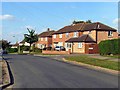
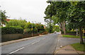
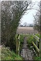
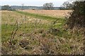
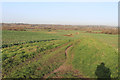
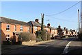
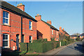
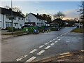
100 photos from this area
Area Information
Key information about the RG14 6HL including its size, population, and administrative classification.
- Area Type
- Postcode
- Area Size
- 1.2 hectares
- Population
- 1625
- Population Density
- 4271 people/km²
House Prices in RG14 6HL
21
Properties
£312,127
Average Sold Price
£36,500
Lowest Price
£515,000
Highest Price
Showing 21 properties
| Address | Type | Beds | Baths | Last Sale Price | Last Sale Date | |
|---|---|---|---|---|---|---|
| 17 Woodside, Newbury, RG14 6HL | Semi-detached | 4 | 1 | £515,000 | Feb 2025 | |
| 2 Woodside, Newbury, RG14 6HL | Semi-detached | 3 | 1 | £368,000 | Jan 2025 | |
| 3 Woodside, Newbury, RG14 6HL | Semi-detached | 4 | 2 | £430,000 | Dec 2023 | |
| 18 Woodside, Newbury, RG14 6HL | Semi-detached | 3 | 1 | £351,000 | May 2019 | |
| 5 Woodside, Newbury, RG14 6HL | Semi-detached | 3 | 3 | £329,950 | May 2019 | |
| 21 Woodside, Newbury, RG14 6HL | Semi-detached | 4 | - | £375,000 | Dec 2017 | |
| 16 Woodside, Newbury, RG14 6HL | Semi-detached | 3 | 1 | £315,000 | Jan 2016 | |
| 9 Woodside, Newbury, RG14 6HL | Terraced | 3 | 1 | £250,000 | Jan 2015 | |
| 8 Woodside, Newbury, RG14 6HL | Terraced | 3 | 1 | £219,950 | May 2014 | |
| 14 Woodside, Newbury, RG14 6HL | house | 3 | - | £243,000 | Dec 2012 |
Page 1 of 3
Energy Efficiency in RG14 6HL
Amenities
Schools
| Rank | School | Type | Entry gender | Ages |
|---|
Explore more schools in this area
Go to Schools tabDemographics
Household Size
Family (3-5 people)
most common
Accommodation Type
Houses
most common
Tenure
69
majority
Ethnic Group
White
most common
Religion
N/A
most common
Household Composition
N/A
most common
Age
47
median
Adults (30-64 years)
most common
Household Deprivation
N/A
with no deprivation
NS-SEC
37
in Lower managerial occupations
Explore more demographic insights in this area
Go to Demographics tabPlanning
Planning Constraints
- Flood RiskPremium
- Ramsar Wetland SitesPremium
- Area of Outstanding Natural BeautyPremium
- Protected Nature ReservePremium
- Protected WoodlandPremium