Area Overview for RG14 5JR
Photos of RG14 5JR
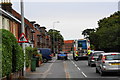
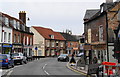
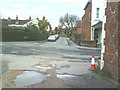
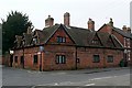
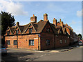
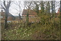
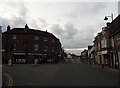
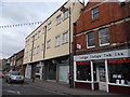

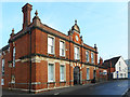
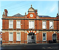
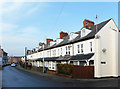
100 photos from this area
Area Information
Key information about the RG14 5JR including its size, population, and administrative classification.
- Area Type
- Postcode
- Area Size
- 8401 m²
- Population
- 2028
- Population Density
- 6108 people/km²
House Prices in RG14 5JR
32
Properties
£310,287
Average Sold Price
£120,000
Lowest Price
£530,000
Highest Price
Showing 32 properties
| Address | Type | Beds | Baths | Last Sale Price | Last Sale Date | |
|---|---|---|---|---|---|---|
| 42 Gloucester Road, Newbury, RG14 5JR | Semi-detached | 3 | 2 | £450,000 | Mar 2025 | |
| 31 Gloucester Road, Newbury, RG14 5JR | Semi-detached | 3 | 2 | £496,000 | Mar 2025 | |
| 37 Gloucester Road, Newbury, RG14 5JR | Semi-detached | 3 | 1 | £462,500 | Aug 2024 | |
| 29 Gloucester Road, Newbury, RG14 5JR | Semi-detached | 3 | 1 | £470,000 | Dec 2023 | |
| 38 Gloucester Road, Newbury, RG14 5JR | Semi-detached | 3 | 2 | £449,225 | Aug 2021 | |
| 41 Gloucester Road, Newbury, RG14 5JR | Semi-detached | 3 | 1 | £400,000 | Mar 2021 | |
| 46 Gloucester Road, Newbury, RG14 5JR | Semi-detached | 3 | 1 | £358,000 | Jan 2019 | |
| 51 Gloucester Road, Newbury, RG14 5JR | Semi-detached | 4 | 2 | £530,000 | Jan 2019 | |
| 25 Gloucester Road, Newbury, RG14 5JR | Terraced | 5 | 2 | £375,000 | Aug 2015 | |
| 58 Gloucester Road, Newbury, RG14 5JR | house | 4 | - | £428,500 | Jun 2015 |
Page 1 of 4
Energy Efficiency in RG14 5JR
Amenities
Schools
| Rank | School | Type | Entry gender | Ages |
|---|
Explore more schools in this area
Go to Schools tabDemographics
Household Size
Family (3-5 people)
most common
Accommodation Type
Houses
most common
Tenure
54
majority
Ethnic Group
White
most common
Religion
N/A
most common
Household Composition
N/A
most common
Age
47
median
Adults (30-64 years)
most common
Household Deprivation
N/A
with no deprivation
NS-SEC
43
in Lower managerial occupations
Explore more demographic insights in this area
Go to Demographics tabPlanning
Planning Constraints
- Flood RiskPremium
- Ramsar Wetland SitesPremium
- Area of Outstanding Natural BeautyPremium
- Protected Nature ReservePremium
- Protected WoodlandPremium