Area Overview for RG14 2AP
Photos of RG14 2AP
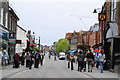
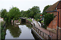
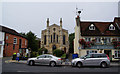
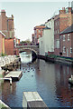
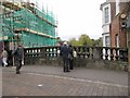

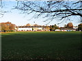
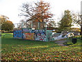
100 photos from this area
Area Information
Key information about the RG14 2AP including its size, population, and administrative classification.
- Area Type
- Postcode
- Area Size
- 9916 m²
- Population
- 1484
- Population Density
- 1759 people/km²
House Prices in RG14 2AP
30
Properties
£201,370
Average Sold Price
£49,950
Lowest Price
£405,000
Highest Price
Showing 30 properties
| Address | Type | Beds | Baths | Last Sale Price | Last Sale Date | |
|---|---|---|---|---|---|---|
| 53 Newport Road, Newbury, RG14 2AP | Semi-detached | 3 | 1 | £290,000 | Jan 2024 | |
| 77 Newport Road, Newbury, RG14 2AP | Terraced | 4 | 2 | £370,000 | Jul 2023 | |
| 35 Newport Road, Newbury, RG14 2AP | Semi-detached | 3 | 1 | £405,000 | Jul 2023 | |
| 61 Newport Road, Newbury, RG14 2AP | house | - | - | £180,000 | Mar 2021 | |
| 27 Newport Road, Newbury, RG14 2AP | house | - | - | £330,000 | Dec 2020 | |
| 43 Newport Road, Newbury, RG14 2AP | Terraced | 3 | 1 | £240,675 | Aug 2019 | |
| 67 Newport Road, Newbury, RG14 2AP | Terraced | 2 | 1 | £225,000 | Jan 2018 | |
| 45 Newport Road, Newbury, RG14 2AP | Terraced | 3 | 1 | £255,000 | Jan 2017 | |
| 73 Newport Road, Newbury, RG14 2AP | Detached | 3 | 1 | £264,000 | Nov 2016 | |
| 59 Newport Road, Newbury, RG14 2AP | house | - | - | £270,000 | Aug 2016 |
Page 1 of 3
Energy Efficiency in RG14 2AP
Amenities
Schools
| Rank | School | Type | Entry gender | Ages |
|---|
Explore more schools in this area
Go to Schools tabDemographics
Household Size
One person
most common
Accommodation Type
Flats
most common
Tenure
40
majority
Ethnic Group
White
most common
Religion
N/A
most common
Household Composition
N/A
most common
Age
47
median
Adults (30-64 years)
most common
Household Deprivation
N/A
with no deprivation
NS-SEC
38
in Lower managerial occupations
Explore more demographic insights in this area
Go to Demographics tabPlanning
Planning Constraints
- Flood RiskPremium
- Ramsar Wetland SitesPremium
- Area of Outstanding Natural BeautyPremium
- Protected Nature ReservePremium
- Protected WoodlandPremium