Area Overview for RG14 1HH
Photos of RG14 1HH
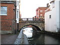
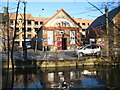

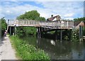
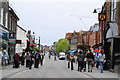
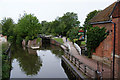
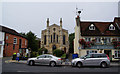
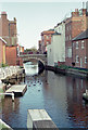
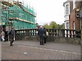
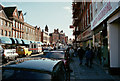

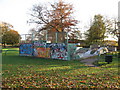
100 photos from this area
Area Information
Key information about the RG14 1HH including its size, population, and administrative classification.
- Area Type
- Postcode
- Area Size
- 3566 m²
- Population
- 1484
- Population Density
- 1759 people/km²
House Prices in RG14 1HH
13
Properties
£293,431
Average Sold Price
£89,950
Lowest Price
£675,000
Highest Price
Showing 13 properties
| Address | Type | Beds | Baths | Last Sale Price | Last Sale Date | |
|---|---|---|---|---|---|---|
| 101 Shaw Road, Newbury, RG14 1HH | house | - | - | £317,500 | Sep 2021 | |
| 107 Shaw Road, Newbury, RG14 1HH | Detached | 4 | 3 | £675,000 | Sep 2020 | |
| 75 Shaw Road, Newbury, RG14 1HH | Terraced | 2 | 1 | £300,000 | May 2020 | |
| 105 Shaw Road, Newbury, RG14 1HH | Semi-detached | - | - | £240,000 | Sep 2019 | |
| 79 Shaw Road, Newbury, RG14 1HH | Terraced | 2 | 1 | £295,000 | May 2019 | |
| 77 Shaw Road, Newbury, RG14 1HH | Terraced | 2 | 1 | £250,000 | Dec 2013 | |
| 99 Shaw Road, Newbury, RG14 1HH | Semi-detached | 3 | 1 | £180,000 | Oct 2002 | |
| 85 Shaw Road, Newbury, RG14 1HH | house | - | - | £89,950 | Dec 1998 | |
| 89A Shaw Road, Newbury, RG14 1HH | Terraced | 5 | 1 | - | - | |
| 87 Shaw Road, Newbury, RG14 1HH | house | - | - | - | - |
Page 1 of 2
Energy Efficiency in RG14 1HH
Amenities
Schools
| Rank | School | Type | Entry gender | Ages |
|---|
Explore more schools in this area
Go to Schools tabDemographics
Household Size
One person
most common
Accommodation Type
Flats
most common
Tenure
40
majority
Ethnic Group
White
most common
Religion
N/A
most common
Household Composition
N/A
most common
Age
47
median
Adults (30-64 years)
most common
Household Deprivation
N/A
with no deprivation
NS-SEC
38
in Lower managerial occupations
Explore more demographic insights in this area
Go to Demographics tabPlanning
Planning Constraints
- Flood RiskPremium
- Ramsar Wetland SitesPremium
- Area of Outstanding Natural BeautyPremium
- Protected Nature ReservePremium
- Protected WoodlandPremium