Area Overview for RG12 9HQ
Photos of RG12 9HQ
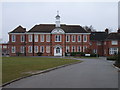
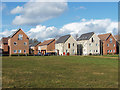
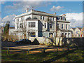
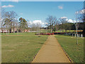
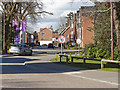
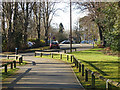
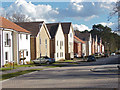
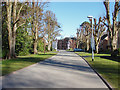
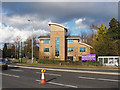
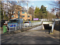
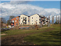
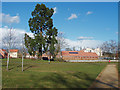
39 photos from this area
Area Information
Key information about the RG12 9HQ including its size, population, and administrative classification.
- Area Type
- Postcode
- Area Size
- 1.3 hectares
- Population
- 2170
- Population Density
- 5027 people/km²
House Prices in RG12 9HQ
36
Properties
£328,777
Average Sold Price
£142,105
Lowest Price
£607,000
Highest Price
Showing 36 properties
| Address | Type | Beds | Baths | Last Sale Price | Last Sale Date | |
|---|---|---|---|---|---|---|
| 55 Austin Way, Bracknell, RG12 9HQ | Terraced | 3 | 2 | £440,000 | Sep 2025 | |
| 59 Austin Way, Bracknell, RG12 9HQ | Semi-detached | 3 | 1 | £450,000 | May 2024 | |
| 73 Austin Way, Bracknell, RG12 9HQ | Flat | - | - | £285,000 | Jan 2024 | |
| 25 Austin Way, Bracknell, RG12 9HQ | Retail | 5 | 3 | £607,000 | Jun 2022 | |
| 53 Austin Way, Bracknell, RG12 9HQ | Semi-detached | 4 | 3 | £407,000 | Jun 2021 | |
| 37 Austin Way, Bracknell, RG12 9HQ | house | - | - | £400,000 | Mar 2021 | |
| 69 Austin Way, Bracknell, RG12 9HQ | Flat | 2 | 2 | £275,000 | Dec 2020 | |
| 39 Austin Way, Bracknell, RG12 9HQ | Semi-detached | 4 | 2 | £382,000 | Sep 2019 | |
| 31 Austin Way, Bracknell, RG12 9HQ | house | - | - | £485,000 | Jul 2019 | |
| 65 Austin Way, Bracknell, RG12 9HQ | Detached | 3 | - | £380,000 | Oct 2015 |
Page 1 of 4
Energy Efficiency in RG12 9HQ
Amenities
Schools
| Rank | School | Type | Entry gender | Ages |
|---|
Explore more schools in this area
Go to Schools tabDemographics
Household Size
Family (3-5 people)
most common
Accommodation Type
Houses
most common
Tenure
53
majority
Ethnic Group
White
most common
Religion
N/A
most common
Household Composition
N/A
most common
Age
47
median
Adults (30-64 years)
most common
Household Deprivation
N/A
with no deprivation
NS-SEC
36
in Lower managerial occupations
Explore more demographic insights in this area
Go to Demographics tabPlanning
Planning Constraints
- Flood RiskPremium
- Ramsar Wetland SitesPremium
- Area of Outstanding Natural BeautyPremium
- Protected Nature ReservePremium
- Protected WoodlandPremium