Area Overview for RG12 9HA
Photos of RG12 9HA
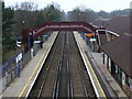
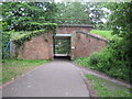
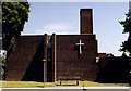
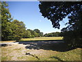
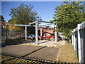
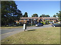
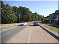
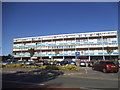
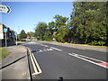
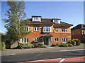
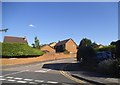
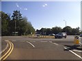
33 photos from this area
Area Information
Key information about the RG12 9HA including its size, population, and administrative classification.
- Area Type
- Postcode
- Area Size
- 1.7 hectares
- Population
- 1471
- Population Density
- 4408 people/km²
House Prices in RG12 9HA
42
Properties
£292,395
Average Sold Price
£129,950
Lowest Price
£375,000
Highest Price
Showing 42 properties
| Address | Type | Beds | Baths | Last Sale Price | Last Sale Date | |
|---|---|---|---|---|---|---|
| 92 Calfridus Way, Bracknell, RG12 9HA | Terraced | 3 | 1 | £360,000 | Oct 2025 | |
| 82 Calfridus Way, Bracknell, RG12 9HA | Terraced | 2 | 1 | £365,000 | May 2024 | |
| 108 Calfridus Way, Bracknell, RG12 9HA | Retail | 2 | 1 | £320,000 | Sep 2022 | |
| 122 Calfridus Way, Bracknell, RG12 9HA | Terraced | 3 | 1 | £375,000 | Jun 2022 | |
| 140 Calfridus Way, Bracknell, RG12 9HA | Terraced | 4 | 1 | £360,000 | May 2020 | |
| 78 Calfridus Way, Bracknell, RG12 9HA | Terraced | 3 | 1 | £350,000 | Dec 2019 | |
| 98 Calfridus Way, Bracknell, RG12 9HA | Terraced | 3 | - | £240,000 | May 2015 | |
| 148 Calfridus Way, Bracknell, RG12 9HA | Terraced | 3 | - | £233,000 | Mar 2014 | |
| 136 Calfridus Way, Bracknell, RG12 9HA | Terraced | - | - | £191,000 | Sep 2006 | |
| 94 Calfridus Way, Bracknell, RG12 9HA | Terraced | - | - | £129,950 | Oct 2002 |
Page 1 of 5
Energy Efficiency in RG12 9HA
Amenities
Schools
| Rank | School | Type | Entry gender | Ages |
|---|
Explore more schools in this area
Go to Schools tabDemographics
Household Size
Family (3-5 people)
most common
Accommodation Type
Houses
most common
Tenure
57
majority
Ethnic Group
White
most common
Religion
N/A
most common
Household Composition
N/A
most common
Age
47
median
Adults (30-64 years)
most common
Household Deprivation
N/A
with no deprivation
NS-SEC
35
in Lower managerial occupations
Explore more demographic insights in this area
Go to Demographics tabPlanning
Planning Constraints
- Flood RiskPremium
- Ramsar Wetland SitesPremium
- Area of Outstanding Natural BeautyPremium
- Protected Nature ReservePremium
- Protected WoodlandPremium