Area Overview for RG10 9RB
Photos of RG10 9RB
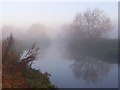
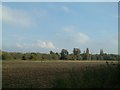
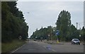
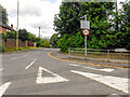
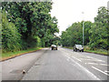
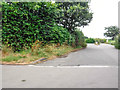
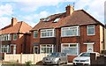
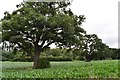
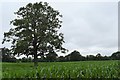
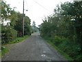
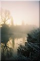
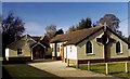
24 photos from this area
Area Information
Key information about the RG10 9RB including its size, population, and administrative classification.
- Area Type
- Postcode
- Area Size
- 6083 m²
- Population
- 1631
- Population Density
- 573 people/km²
House Prices in RG10 9RB
20
Properties
£298,450
Average Sold Price
£53,000
Lowest Price
£420,000
Highest Price
Showing 20 properties
| Address | Type | Beds | Baths | Last Sale Price | Last Sale Date | |
|---|---|---|---|---|---|---|
| 14 Kingsley Close, Charvil, RG10 9RB | Terraced | 3 | 1 | £410,000 | Jan 2023 | |
| 10 Kingsley Close, Charvil, RG10 9RB | Terraced | 3 | 1 | £415,000 | Aug 2022 | |
| 17 Kingsley Close, Charvil, RG10 9RB | Terraced | 3 | 1 | £310,000 | Sep 2020 | |
| 11 Kingsley Close, Charvil, RG10 9RB | Terraced | 3 | 1 | £420,000 | Aug 2020 | |
| 20 Kingsley Close, Charvil, RG10 9RB | Terraced | 3 | 1 | £380,000 | Feb 2020 | |
| 12 Kingsley Close, Charvil, RG10 9RB | Terraced | 2 | 1 | £363,500 | Mar 2017 | |
| 8 Kingsley Close, Charvil, RG10 9RB | house | 2 | - | £218,000 | Aug 2011 | |
| 19 Kingsley Close, Charvil, RG10 9RB | house | - | - | £215,000 | Dec 2009 | |
| 13 Kingsley Close, Charvil, RG10 9RB | Terraced | - | - | £200,000 | Jul 2006 | |
| 18 Kingsley Close, Charvil, RG10 9RB | Terraced | - | - | £53,000 | Jul 1995 |
Page 1 of 2
Energy Efficiency in RG10 9RB
Amenities
Schools
| Rank | School | Type | Entry gender | Ages |
|---|
Explore more schools in this area
Go to Schools tabDemographics
Household Size
Family (3-5 people)
most common
Accommodation Type
Houses
most common
Tenure
88
majority
Ethnic Group
White
most common
Religion
N/A
most common
Household Composition
N/A
most common
Age
47
median
Adults (30-64 years)
most common
Household Deprivation
N/A
with no deprivation
NS-SEC
51
in Lower managerial occupations
Explore more demographic insights in this area
Go to Demographics tabPlanning
Planning Constraints
- Flood RiskPremium
- Ramsar Wetland SitesPremium
- Area of Outstanding Natural BeautyPremium
- Protected Nature ReservePremium
- Protected WoodlandPremium