Area Overview for RG10 9JY
Photos of RG10 9JY
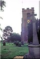
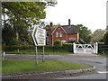
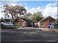
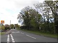
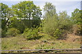
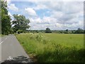
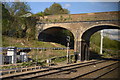
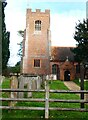

36 photos from this area
Area Information
Key information about the RG10 9JY including its size, population, and administrative classification.
- Area Type
- Postcode
- Area Size
- 1.8 hectares
- Population
- 1561
- Population Density
- 3014 people/km²
House Prices in RG10 9JY
26
Properties
£369,200
Average Sold Price
£49,000
Lowest Price
£679,000
Highest Price
Showing 26 properties
| Address | Type | Beds | Baths | Last Sale Price | Last Sale Date | |
|---|---|---|---|---|---|---|
| 25 Orchard Estate, Twyford, RG10 9JY | Semi-detached | 4 | 2 | £679,000 | Jul 2025 | |
| 26 Orchard Estate, Twyford, RG10 9JY | Semi-detached | 3 | 1 | £600,000 | Dec 2024 | |
| 4 Orchard Estate, Twyford, RG10 9JY | Semi-detached | 3 | 2 | £437,000 | Apr 2024 | |
| 22 Orchard Estate, Twyford, RG10 9JY | Semi-detached | 3 | 1 | £485,000 | Aug 2021 | |
| 12 Orchard Estate, Twyford, RG10 9JY | Semi-detached | 1 | 1 | £280,000 | Feb 2017 | |
| 14 Orchard Estate, Twyford, RG10 9JY | Terraced | 4 | 2 | £465,000 | May 2016 | |
| 21 Orchard Estate, Twyford, RG10 9JY | house | - | - | £300,000 | Aug 2009 | |
| 24 Orchard Estate, Twyford, RG10 9JY | Semi-detached | - | - | £262,000 | Feb 2006 | |
| 16 Orchard Estate, Twyford, RG10 9JY | Semi-detached | - | - | £49,000 | Apr 2000 | |
| 18 Orchard Estate, Twyford, RG10 9JY | Semi-detached | - | - | £135,000 | May 1998 |
Page 1 of 3
Energy Efficiency in RG10 9JY
Amenities
Schools
| Rank | School | Type | Entry gender | Ages |
|---|
Explore more schools in this area
Go to Schools tabDemographics
Household Size
Two person
most common
Accommodation Type
Houses
most common
Tenure
73
majority
Ethnic Group
White
most common
Religion
N/A
most common
Household Composition
N/A
most common
Age
47
median
Adults (30-64 years)
most common
Household Deprivation
N/A
with no deprivation
NS-SEC
48
in Lower managerial occupations
Explore more demographic insights in this area
Go to Demographics tabPlanning
Planning Constraints
- Flood RiskPremium
- Ramsar Wetland SitesPremium
- Area of Outstanding Natural BeautyPremium
- Protected Nature ReservePremium
- Protected WoodlandPremium