Area Overview for RG10 0DR
Photos of RG10 0DR
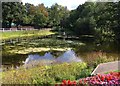
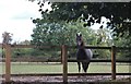
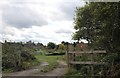
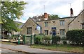
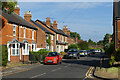
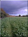
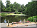
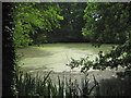
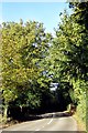
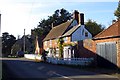
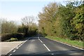
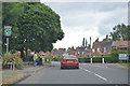
16 photos from this area
Area Information
Key information about the RG10 0DR including its size, population, and administrative classification.
- Area Type
- Postcode
- Area Size
- 5.3 hectares
- Population
- 1474
- Population Density
- 88 people/km²
House Prices in RG10 0DR
34
Properties
£783,213
Average Sold Price
£149,950
Lowest Price
£1,465,000
Highest Price
Showing 34 properties
| Address | Type | Beds | Baths | Last Sale Price | Last Sale Date | |
|---|---|---|---|---|---|---|
| Peacocks, School Road, Hurst, RG10 0DR | Detached | 3 | 1 | £725,000 | Jun 2024 | |
| Fairlawn, School Road, Hurst, RG10 0DR | house | 4 | - | £1,465,000 | Mar 2023 | |
| Lodden Vale House, School Road, Hurst, RG10 0DR | house | - | - | £1,025,000 | Jun 2022 | |
| Barleycorn, School Road, Hurst, RG10 0DR | house | - | - | £785,000 | May 2021 | |
| 6 School Road, Hurst, RG10 0DR | Maisonette | 1 | 1 | £227,500 | Feb 2021 | |
| September Cottage, School Road, Hurst, RG10 0DR | Detached | 5 | 3 | £1,055,000 | Mar 2019 | |
| Oak Cottage, School Road, Hurst, RG10 0DR | Detached | 4 | - | £1,280,000 | Sep 2017 | |
| Foxhills, School Road, Hurst, RG10 0DR | house | - | - | £1,100,000 | Sep 2014 | |
| Squirrels, School Road, Hurst, RG10 0DR | house | - | - | £1,260,000 | Oct 2013 | |
| Harlyn House, School Road, Hurst, RG10 0DR | house | - | - | £1,187,500 | Jul 2011 |
Page 1 of 4
Energy Efficiency in RG10 0DR
Amenities
Schools
| Rank | School | Type | Entry gender | Ages |
|---|
Explore more schools in this area
Go to Schools tabDemographics
Household Size
Two person
most common
Accommodation Type
Houses
most common
Tenure
71
majority
Ethnic Group
White
most common
Religion
N/A
most common
Household Composition
N/A
most common
Age
47
median
Adults (30-64 years)
most common
Household Deprivation
N/A
with no deprivation
NS-SEC
50
in Lower managerial occupations
Explore more demographic insights in this area
Go to Demographics tabPlanning
Planning Constraints
- Flood RiskPremium
- Ramsar Wetland SitesPremium
- Area of Outstanding Natural BeautyPremium
- Protected Nature ReservePremium
- Protected WoodlandPremium