Area Overview for RG10 0AE
Photos of RG10 0AE
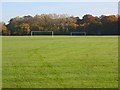
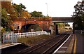
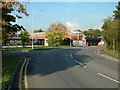
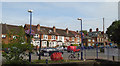
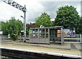
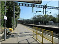
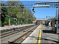
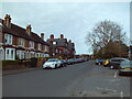
43 photos from this area
Area Information
Key information about the RG10 0AE including its size, population, and administrative classification.
- Area Type
- Postcode
- Area Size
- 2.0 hectares
- Population
- 1561
- Population Density
- 3014 people/km²
House Prices in RG10 0AE
29
Properties
£365,168
Average Sold Price
£119,950
Lowest Price
£730,000
Highest Price
Showing 29 properties
| Address | Type | Beds | Baths | Last Sale Price | Last Sale Date | |
|---|---|---|---|---|---|---|
| Yorkland, Byron Road, Twyford, RG10 0AE | Bungalow | 3 | 1 | £610,000 | Oct 2022 | |
| 29 Byron Road, Twyford, RG10 0AE | Bungalow | 3 | 2 | £610,000 | May 2021 | |
| 14 Byron Road, Twyford, RG10 0AE | Semi-detached | 5 | 2 | £510,000 | Jan 2017 | |
| 36 Byron Road, Twyford, RG10 0AE | Semi-detached | 3 | 1 | £412,000 | May 2015 | |
| St Barts, Byron Road, Twyford, RG10 0AE | Detached | 4 | 2 | £730,000 | Apr 2015 | |
| 22 Byron Road, Twyford, RG10 0AE | Semi-detached | 4 | 1 | £425,000 | Aug 2014 | |
| 16 Byron Road, Twyford, RG10 0AE | house | 3 | - | £278,000 | Nov 2010 | |
| Gabled Cottage, Byron Road, Twyford, RG10 0AE | Detached | 4 | 4 | £525,000 | Sep 2009 | |
| 31 Byron Road, Twyford, RG10 0AE | Detached | - | - | £279,950 | May 2007 | |
| Serangoon, Byron Road, Twyford, RG10 0AE | Detached | - | - | £475,000 | Jul 2006 |
Page 1 of 3
Energy Efficiency in RG10 0AE
Amenities
Schools
| Rank | School | Type | Entry gender | Ages |
|---|
Explore more schools in this area
Go to Schools tabDemographics
Household Size
Two person
most common
Accommodation Type
Houses
most common
Tenure
73
majority
Ethnic Group
White
most common
Religion
N/A
most common
Household Composition
N/A
most common
Age
47
median
Adults (30-64 years)
most common
Household Deprivation
N/A
with no deprivation
NS-SEC
48
in Lower managerial occupations
Explore more demographic insights in this area
Go to Demographics tabPlanning
Planning Constraints
- Flood RiskPremium
- Ramsar Wetland SitesPremium
- Area of Outstanding Natural BeautyPremium
- Protected Nature ReservePremium
- Protected WoodlandPremium