Area Overview for RG1 7YU
Photos of RG1 7YU

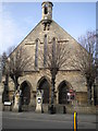
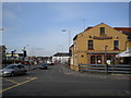
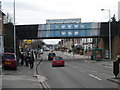
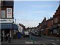

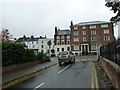
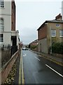
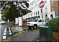
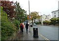
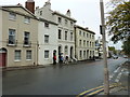
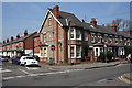
100 photos from this area
Area Information
Key information about the RG1 7YU including its size, population, and administrative classification.
- Area Type
- Postcode
- Area Size
- 1.9 hectares
- Population
- 1802
- Population Density
- 8951 people/km²
House Prices in RG1 7YU
40
Properties
£335,300
Average Sold Price
£88,950
Lowest Price
£550,000
Highest Price
Showing 40 properties
| Address | Type | Beds | Baths | Last Sale Price | Last Sale Date | |
|---|---|---|---|---|---|---|
| 22 Brunswick Hill, Reading, RG1 7YU | Semi-detached | 3 | 1 | £510,000 | Oct 2022 | |
| 31 Brunswick Hill, Reading, RG1 7YU | house | - | - | £375,000 | Feb 2022 | |
| 28 Brunswick Hill, Reading, RG1 7YU | Detached | 3 | 2 | £400,000 | Dec 2021 | |
| 45 Brunswick Hill, Reading, RG1 7YU | Semi-detached | 3 | 1 | £390,000 | Jun 2021 | |
| 27 Brunswick Hill, Reading, RG1 7YU | Semi-detached | 3 | 1 | £337,000 | Apr 2019 | |
| 32A Brunswick Hill, Reading, RG1 7YU | Detached | 1 | 1 | £550,000 | Nov 2015 | |
| 29 Brunswick Hill, Reading, RG1 7YU | Semi-detached | 3 | 4 | £293,000 | Jul 2014 | |
| 32 Brunswick Hill, Reading, RG1 7YU | Detached | 4 | 3 | £385,000 | Jun 2014 | |
| 35 Brunswick Hill, Reading, RG1 7YU | house | 3 | 2 | £249,950 | Dec 2010 | |
| 47 Brunswick Hill, Reading, RG1 7YU | Terraced | - | - | £220,000 | Mar 2006 |
Page 1 of 4
Energy Efficiency in RG1 7YU
Amenities
Schools
| Rank | School | Type | Entry gender | Ages |
|---|
Explore more schools in this area
Go to Schools tabDemographics
Household Size
One person
most common
Accommodation Type
Houses
most common
Tenure
51
majority
Ethnic Group
White
most common
Religion
N/A
most common
Household Composition
N/A
most common
Age
47
median
Adults (30-64 years)
most common
Household Deprivation
N/A
with no deprivation
NS-SEC
38
in Lower managerial occupations
Explore more demographic insights in this area
Go to Demographics tabPlanning
Planning Constraints
- Flood RiskPremium
- Ramsar Wetland SitesPremium
- Area of Outstanding Natural BeautyPremium
- Protected Nature ReservePremium
- Protected WoodlandPremium