Area Overview for RG1 7PA
Photos of RG1 7PA

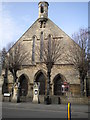
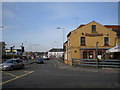
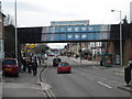
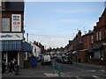

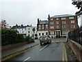
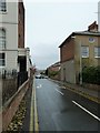
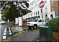
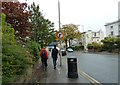
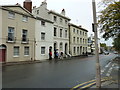
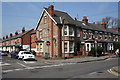
100 photos from this area
Area Information
Key information about the RG1 7PA including its size, population, and administrative classification.
- Area Type
- Postcode
- Area Size
- 1.3 hectares
- Population
- 1909
- Population Density
- 6919 people/km²
House Prices in RG1 7PA
51
Properties
£208,714
Average Sold Price
£71,250
Lowest Price
£399,250
Highest Price
Showing 51 properties
| Address | Type | Beds | Baths | Last Sale Price | Last Sale Date | |
|---|---|---|---|---|---|---|
| 12 Cambridge Street, Reading, RG1 7PA | house | 2 | - | £399,250 | Sep 2025 | |
| 21 Cambridge Street, Reading, RG1 7PA | Terraced | 2 | 1 | £335,500 | Nov 2024 | |
| 34 Cambridge Street, Reading, RG1 7PA | Terraced | 2 | 1 | £275,000 | Jun 2023 | |
| 42 Cambridge Street, Reading, RG1 7PA | Terraced | 2 | 1 | £255,000 | May 2023 | |
| 4 Cambridge Street, Reading, RG1 7PA | Retail | 1 | 1 | £300,000 | Sep 2022 | |
| 3 Cambridge Street, Reading, RG1 7PA | house | 1 | 1 | £260,000 | Dec 2021 | |
| 5 Cambridge Street, Reading, RG1 7PA | Terraced | 1 | 1 | £310,000 | Nov 2021 | |
| 30 Cambridge Street, Reading, RG1 7PA | house | - | - | £290,000 | Sep 2021 | |
| 20 Cambridge Street, Reading, RG1 7PA | Terraced | 2 | 1 | £288,500 | Jan 2020 | |
| 7 Cambridge Street, Reading, RG1 7PA | Terraced | 2 | 3 | £215,000 | Nov 2019 |
Page 1 of 6
Energy Efficiency in RG1 7PA
Amenities
Schools
| Rank | School | Type | Entry gender | Ages |
|---|
Explore more schools in this area
Go to Schools tabDemographics
Household Size
Family (3-5 people)
most common
Accommodation Type
Houses
most common
Tenure
31
majority
Ethnic Group
White
most common
Religion
N/A
most common
Household Composition
N/A
most common
Age
47
median
Adults (30-64 years)
most common
Household Deprivation
N/A
with no deprivation
NS-SEC
30
in Lower managerial occupations
Explore more demographic insights in this area
Go to Demographics tabPlanning
Planning Constraints
- Flood RiskPremium
- Ramsar Wetland SitesPremium
- Area of Outstanding Natural BeautyPremium
- Protected Nature ReservePremium
- Protected WoodlandPremium