Area Overview for RG1 4NQ
Photos of RG1 4NQ
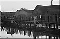
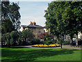
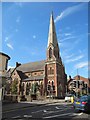
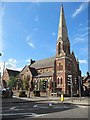
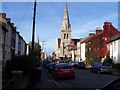
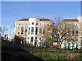
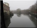
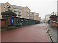
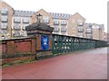
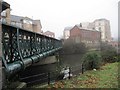
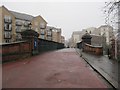
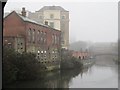
100 photos from this area
Area Information
Key information about the RG1 4NQ including its size, population, and administrative classification.
- Area Type
- Postcode
- Area Size
- 2617 m²
- Population
- 1830
- Population Density
- 3537 people/km²
House Prices in RG1 4NQ
20
Properties
£249,532
Average Sold Price
£130,000
Lowest Price
£350,000
Highest Price
Showing 20 properties
| Address | Type | Beds | Baths | Last Sale Price | Last Sale Date | |
|---|---|---|---|---|---|---|
| 9 Victoria Street, Reading, RG1 4NQ | Terraced | 6 | 3 | £277,000 | Aug 2025 | |
| 6 Victoria Street, Reading, RG1 4NQ | Terraced | 2 | 2 | £343,000 | Apr 2025 | |
| 13 Victoria Street, Reading, RG1 4NQ | Terraced | 3 | 1 | £350,000 | Jul 2024 | |
| 5 Victoria Street, Reading, RG1 4NQ | Terraced | 3 | 2 | £332,500 | Jan 2022 | |
| 16 Victoria Street, Reading, RG1 4NQ | Terraced | 2 | 2 | £325,600 | Dec 2021 | |
| 15 Victoria Street, Reading, RG1 4NQ | Terraced | 3 | 1 | £292,500 | Aug 2021 | |
| 22 Victoria Street, Reading, RG1 4NQ | Terraced | 2 | - | £300,000 | Jan 2021 | |
| 21 Victoria Street, Reading, RG1 4NQ | Terraced | 2 | 1 | £310,000 | Oct 2018 | |
| 8 Victoria Street, Reading, RG1 4NQ | Terraced | 3 | 1 | £320,000 | Mar 2016 | |
| 24 Victoria Street, Reading, RG1 4NQ | Terraced | 2 | - | £182,500 | Sep 2013 |
Page 1 of 2
Energy Efficiency in RG1 4NQ
Amenities
Schools
| Rank | School | Type | Entry gender | Ages |
|---|
Explore more schools in this area
Go to Schools tabDemographics
Household Size
One person
most common
Accommodation Type
Flats
most common
Tenure
34
majority
Ethnic Group
White
most common
Religion
N/A
most common
Household Composition
N/A
most common
Age
47
median
Adults (30-64 years)
most common
Household Deprivation
N/A
with no deprivation
NS-SEC
48
in Lower managerial occupations
Explore more demographic insights in this area
Go to Demographics tabPlanning
Planning Constraints
- Flood RiskPremium
- Ramsar Wetland SitesPremium
- Area of Outstanding Natural BeautyPremium
- Protected Nature ReservePremium
- Protected WoodlandPremium