Area Overview for RG1 2TD
Photos of RG1 2TD
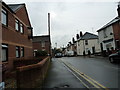
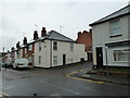
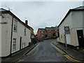
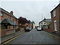
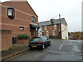
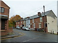
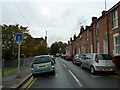
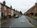
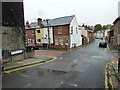
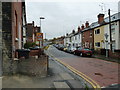
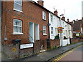
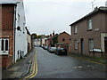
100 photos from this area
Area Information
Key information about the RG1 2TD including its size, population, and administrative classification.
- Area Type
- Postcode
- Area Size
- 6673 m²
- Population
- 2151
- Population Density
- 17617 people/km²
House Prices in RG1 2TD
28
Properties
£199,403
Average Sold Price
£107,000
Lowest Price
£330,000
Highest Price
Showing 28 properties
| Address | Type | Beds | Baths | Last Sale Price | Last Sale Date | |
|---|---|---|---|---|---|---|
| 16 Mount Pleasant, Reading, RG1 2TD | Terraced | 3 | 2 | £245,000 | Aug 2023 | |
| 72 Mount Pleasant, Reading, RG1 2TD | Terraced | 2 | 1 | £295,000 | May 2023 | |
| 74 Mount Pleasant, Reading, RG1 2TD | Terraced | 3 | 1 | £310,000 | Mar 2023 | |
| 66 Mount Pleasant, Reading, RG1 2TD | Terraced | 2 | 1 | £263,050 | Mar 2023 | |
| 78 Mount Pleasant, Reading, RG1 2TD | Terraced | 1 | 1 | £330,000 | Jan 2022 | |
| 70 Mount Pleasant, Reading, RG1 2TD | Terraced | 2 | 1 | £262,000 | May 2018 | |
| 64 Mount Pleasant, Reading, RG1 2TD | Flat | 1 | 1 | £179,000 | Dec 2012 | |
| 56 Mount Pleasant, Reading, RG1 2TD | Terraced | 2 | - | £170,000 | Mar 2012 | |
| 62 Mount Pleasant, Reading, RG1 2TD | Terraced | 4 | 1 | £155,000 | Sep 2009 | |
| 52 Mount Pleasant, Reading, RG1 2TD | Terraced | 2 | 1 | £120,000 | Nov 2008 |
Page 1 of 3
Energy Efficiency in RG1 2TD
Amenities
Schools
| Rank | School | Type | Entry gender | Ages |
|---|
Explore more schools in this area
Go to Schools tabDemographics
Household Size
Family (3-5 people)
most common
Accommodation Type
Houses
most common
Tenure
32
majority
Ethnic Group
White
most common
Religion
N/A
most common
Household Composition
N/A
most common
Age
47
median
Adults (30-64 years)
most common
Household Deprivation
N/A
with no deprivation
NS-SEC
36
in Lower managerial occupations
Explore more demographic insights in this area
Go to Demographics tabPlanning
Planning Constraints
- Flood RiskPremium
- Ramsar Wetland SitesPremium
- Area of Outstanding Natural BeautyPremium
- Protected Nature ReservePremium
- Protected WoodlandPremium