Area Overview for PO9 3PG
Photos of PO9 3PG
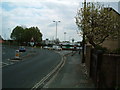
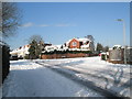
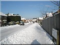
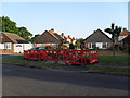
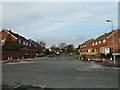
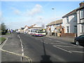
100 photos from this area
Area Information
Key information about the PO9 3PG including its size, population, and administrative classification.
- Area Type
- Postcode
- Area Size
- 1.4 hectares
- Population
- 1763
- Population Density
- 2410 people/km²
House Prices in PO9 3PG
24
Properties
£373,769
Average Sold Price
£126,000
Lowest Price
£724,000
Highest Price
Showing 24 properties
| Address | Type | Beds | Baths | Last Sale Price | Last Sale Date | |
|---|---|---|---|---|---|---|
| 5 Queen Annes Drive, Havant, PO9 3PG | Detached | 4 | 1 | £550,000 | Jun 2025 | |
| 11A Queen Annes Drive, Havant, PO9 3PG | house | - | - | £477,500 | Mar 2025 | |
| 2 Queen Annes Drive, Havant, PO9 3PG | Detached | 5 | 1 | £724,000 | Feb 2022 | |
| 4 Queen Annes Drive, Havant, PO9 3PG | house | - | - | £362,500 | Jan 2021 | |
| 10 Queen Annes Drive, Havant, PO9 3PG | house | - | - | £450,000 | Jul 2020 | |
| 7 Queen Annes Drive, Havant, PO9 3PG | Detached | 4 | 1 | £541,500 | Jun 2018 | |
| 13 Queen Annes Drive, Havant, PO9 3PG | Detached | 4 | - | £345,000 | Aug 2016 | |
| 16 Queen Annes Drive, Havant, PO9 3PG | house | - | - | £317,000 | Aug 2012 | |
| 24 Queen Annes Drive, Havant, PO9 3PG | house | - | - | £310,000 | Jan 2011 | |
| 3 Queen Annes Drive, Havant, PO9 3PG | Detached | - | - | £290,000 | Jun 2006 |
Page 1 of 3
Energy Efficiency in PO9 3PG
Amenities
Schools
| Rank | School | Type | Entry gender | Ages |
|---|
Explore more schools in this area
Go to Schools tabDemographics
Household Size
Two person
most common
Accommodation Type
Houses
most common
Tenure
90
majority
Ethnic Group
White
most common
Religion
N/A
most common
Household Composition
N/A
most common
Age
47
median
Adults (30-64 years)
most common
Household Deprivation
N/A
with no deprivation
NS-SEC
43
in Lower managerial occupations
Explore more demographic insights in this area
Go to Demographics tabPlanning
Planning Constraints
- Flood RiskPremium
- Ramsar Wetland SitesPremium
- Area of Outstanding Natural BeautyPremium
- Protected Nature ReservePremium
- Protected WoodlandPremium