Area Overview for PO9 2UL
Photos of PO9 2UL
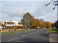
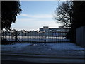
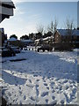
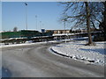
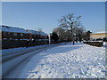
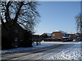
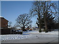
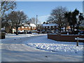
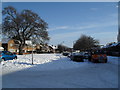
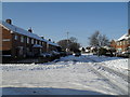
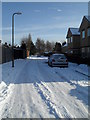
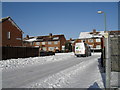
100 photos from this area
Area Information
Key information about the PO9 2UL including its size, population, and administrative classification.
- Area Type
- Postcode
- Area Size
- 1.0 hectares
- Population
- 1146
- Population Density
- 4553 people/km²
House Prices in PO9 2UL
24
Properties
£161,071
Average Sold Price
£55,000
Lowest Price
£244,000
Highest Price
Showing 24 properties
| Address | Type | Beds | Baths | Last Sale Price | Last Sale Date | |
|---|---|---|---|---|---|---|
| 175 Nutwick Road, Havant, PO9 2UL | Terraced | 2 | - | £205,000 | Mar 2023 | |
| 177 Nutwick Road, Havant, PO9 2UL | Terraced | 2 | 1 | £233,000 | Sep 2018 | |
| 171 Nutwick Road, Havant, PO9 2UL | Terraced | 2 | 1 | £225,500 | Jul 2018 | |
| 82 Nutwick Road, Havant, PO9 2UL | Terraced | 3 | 1 | £244,000 | May 2018 | |
| 197 Nutwick Road, Havant, PO9 2UL | house | 3 | - | £172,000 | Mar 2014 | |
| 80 Nutwick Road, Havant, PO9 2UL | house | - | - | £184,995 | Nov 2013 | |
| 199 Nutwick Road, Havant, PO9 2UL | house | - | - | £150,000 | May 2013 | |
| 78 Nutwick Road, Havant, PO9 2UL | Terraced | 3 | 1 | £162,000 | Oct 2010 | |
| 68 Nutwick Road, Havant, PO9 2UL | house | - | - | £145,000 | Mar 2009 | |
| 179 Nutwick Road, Havant, PO9 2UL | Terraced | - | - | £150,000 | Oct 2006 |
Page 1 of 3
Energy Efficiency in PO9 2UL
Amenities
Schools
| Rank | School | Type | Entry gender | Ages |
|---|
Explore more schools in this area
Go to Schools tabDemographics
Household Size
Family (3-5 people)
most common
Accommodation Type
Houses
most common
Tenure
65
majority
Ethnic Group
White
most common
Religion
N/A
most common
Household Composition
N/A
most common
Age
47
median
Adults (30-64 years)
most common
Household Deprivation
N/A
with no deprivation
NS-SEC
37
in Lower managerial occupations
Explore more demographic insights in this area
Go to Demographics tabPlanning
Planning Constraints
- Flood RiskPremium
- Ramsar Wetland SitesPremium
- Area of Outstanding Natural BeautyPremium
- Protected Nature ReservePremium
- Protected WoodlandPremium