Area Overview for PO9 2RY
Photos of PO9 2RY
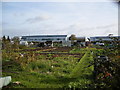
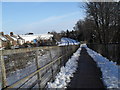
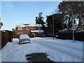
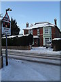
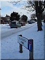
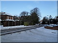
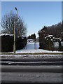
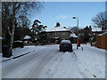
100 photos from this area
Area Information
Key information about the PO9 2RY including its size, population, and administrative classification.
- Area Type
- Postcode
- Area Size
- 3.6 hectares
- Population
- 2305
- Population Density
- 766 people/km²
House Prices in PO9 2RY
31
Properties
£470,208
Average Sold Price
£160,000
Lowest Price
£825,000
Highest Price
Showing 31 properties
| Address | Type | Beds | Baths | Last Sale Price | Last Sale Date | |
|---|---|---|---|---|---|---|
| 26 Castle Avenue, Havant, PO9 2RY | Bungalow | 3 | - | £585,000 | Nov 2022 | |
| 22 Castle Avenue, Havant, PO9 2RY | Retail | 4 | 1 | £825,000 | Jun 2022 | |
| 12 Castle Avenue, Havant, PO9 2RY | Detached | 4 | 2 | £450,000 | Jan 2019 | |
| 7 Castle Avenue, Havant, PO9 2RY | Detached | 4 | 3 | £799,995 | May 2018 | |
| 4 Castle Avenue, Havant, PO9 2RY | Detached | 5 | 1 | £535,000 | Aug 2017 | |
| Larksfield, 8 Castle Avenue, Havant, PO9 2RY | Detached | 3 | 2 | £560,000 | Jun 2016 | |
| 24 Castle Avenue, Havant, PO9 2RY | Detached | 5 | - | £530,000 | Feb 2016 | |
| 2A Castle Avenue, Havant, PO9 2RY | house | - | - | £490,000 | Dec 2015 | |
| 21 Castle Avenue, Havant, PO9 2RY | Detached | 4 | 1 | £474,000 | Jan 2015 | |
| 13 Castle Avenue, Havant, PO9 2RY | house | - | - | £370,000 | Oct 2013 |
Page 1 of 4
Energy Efficiency in PO9 2RY
Amenities
Schools
| Rank | School | Type | Entry gender | Ages |
|---|
Explore more schools in this area
Go to Schools tabDemographics
Household Size
Two person
most common
Accommodation Type
Houses
most common
Tenure
84
majority
Ethnic Group
White
most common
Religion
N/A
most common
Household Composition
N/A
most common
Age
47
median
Adults (30-64 years)
most common
Household Deprivation
N/A
with no deprivation
NS-SEC
47
in Lower managerial occupations
Explore more demographic insights in this area
Go to Demographics tabPlanning
Planning Constraints
- Flood RiskPremium
- Ramsar Wetland SitesPremium
- Area of Outstanding Natural BeautyPremium
- Protected Nature ReservePremium
- Protected WoodlandPremium