Area Overview for PO9 1PY
Photos of PO9 1PY
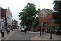
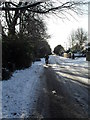
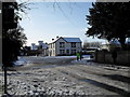
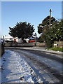
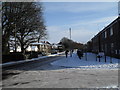
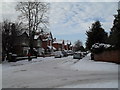
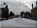
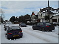
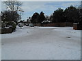
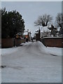
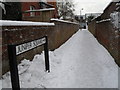
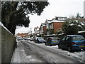
100 photos from this area
Area Information
Key information about the PO9 1PY including its size, population, and administrative classification.
- Area Type
- Postcode
- Area Size
- 2.6 hectares
- Population
- 1399
- Population Density
- 3667 people/km²
House Prices in PO9 1PY
38
Properties
£98,080
Average Sold Price
£36,950
Lowest Price
£160,000
Highest Price
Showing 38 properties
| Address | Type | Beds | Baths | Last Sale Price | Last Sale Date | |
|---|---|---|---|---|---|---|
| 31A Market Parade, Havant, PO9 1PY | Maisonette | - | - | £76,850 | Dec 2018 | |
| 33A Market Parade, Havant, PO9 1PY | Maisonette | - | - | £125,000 | Oct 2018 | |
| 13A Market Parade, Havant, PO9 1PY | Maisonette | 3 | 1 | £160,000 | Jul 2018 | |
| 9A Market Parade, Havant, PO9 1PY | Maisonette | 3 | 1 | £125,000 | Nov 2015 | |
| 23A Market Parade, Havant, PO9 1PY | Flat | - | - | £55,000 | Mar 2007 | |
| 25A Market Parade, Havant, PO9 1PY | Maisonette | - | - | £108,000 | Jun 2005 | |
| 7A Market Parade, Havant, PO9 1PY | Flat | - | - | £120,000 | May 2004 | |
| 27A Market Parade, Havant, PO9 1PY | Flat | - | - | £89,000 | Oct 2003 | |
| 11A Market Parade, Havant, PO9 1PY | Maisonette | - | - | £85,000 | Jun 2001 | |
| 5A Market Parade, Havant, PO9 1PY | Maisonette | - | - | £36,950 | Apr 1998 |
Page 1 of 4
Energy Efficiency in PO9 1PY
Amenities
Schools
| Rank | School | Type | Entry gender | Ages |
|---|
Explore more schools in this area
Go to Schools tabDemographics
Household Size
One person
most common
Accommodation Type
Flats
most common
Tenure
47
majority
Ethnic Group
White
most common
Religion
N/A
most common
Household Composition
N/A
most common
Age
47
median
Adults (30-64 years)
most common
Household Deprivation
N/A
with no deprivation
NS-SEC
30
in Lower managerial occupations
Explore more demographic insights in this area
Go to Demographics tabPlanning
Planning Constraints
- Flood RiskPremium
- Ramsar Wetland SitesPremium
- Area of Outstanding Natural BeautyPremium
- Protected Nature ReservePremium
- Protected WoodlandPremium