Area Overview for PO8 9WN
Photos of PO8 9WN
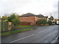
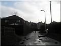
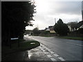
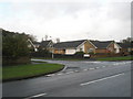
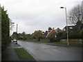
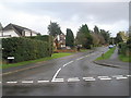
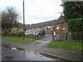
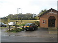
74 photos from this area
Area Information
Key information about the PO8 9WN including its size, population, and administrative classification.
- Area Type
- Postcode
- Area Size
- 4.6 hectares
- Population
- 2465
- Population Density
- 259 people/km²
House Prices in PO8 9WN
35
Properties
£335,731
Average Sold Price
£140,000
Lowest Price
£455,000
Highest Price
Showing 35 properties
| Address | Type | Beds | Baths | Last Sale Price | Last Sale Date | |
|---|---|---|---|---|---|---|
| 29 Merritt Way, Waterlooville, PO8 9WN | Detached | 3 | 2 | £360,000 | May 2025 | |
| 37 Merritt Way, Waterlooville, PO8 9WN | Terraced | 2 | 1 | £300,000 | Nov 2022 | |
| 35 Merritt Way, Waterlooville, PO8 9WN | Terraced | 4 | 2 | £140,000 | Jun 2022 | |
| 44 Merritt Way, Waterlooville, PO8 9WN | house | - | - | £227,500 | Dec 2021 | |
| 19 Merritt Way, Waterlooville, PO8 9WN | house | - | - | £399,999 | Feb 2021 | |
| 50 Merritt Way, Waterlooville, PO8 9WN | house | - | - | £440,000 | Feb 2021 | |
| 17 Merritt Way, Waterlooville, PO8 9WN | house | - | - | £399,999 | Dec 2020 | |
| Suffolk House, Merritt Way, Waterlooville, PO8 9WN | Detached | 4 | 2 | £445,000 | Dec 2020 | |
| 15 Merritt Way, Waterlooville, PO8 9WN | house | - | - | £369,000 | Dec 2020 | |
| 23 Merritt Way, Waterlooville, PO8 9WN | house | - | - | £315,000 | Sep 2020 |
Page 1 of 4
Energy Efficiency in PO8 9WN
Amenities
Schools
| Rank | School | Type | Entry gender | Ages |
|---|
Explore more schools in this area
Go to Schools tabDemographics
Household Size
Two person
most common
Accommodation Type
Houses
most common
Tenure
89
majority
Ethnic Group
White
most common
Religion
N/A
most common
Household Composition
N/A
most common
Age
47
median
Adults (30-64 years)
most common
Household Deprivation
N/A
with no deprivation
NS-SEC
46
in Lower managerial occupations
Explore more demographic insights in this area
Go to Demographics tabPlanning
Planning Constraints
- Flood RiskPremium
- Ramsar Wetland SitesPremium
- Area of Outstanding Natural BeautyPremium
- Protected Nature ReservePremium
- Protected WoodlandPremium