Area Overview for PO8 9TF
Photos of PO8 9TF
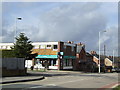
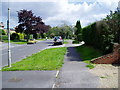
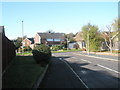
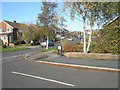
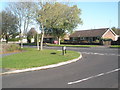
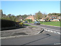
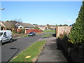
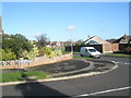
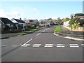
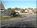
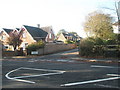
100 photos from this area
Area Information
Key information about the PO8 9TF including its size, population, and administrative classification.
- Area Type
- Postcode
- Area Size
- 2.8 hectares
- Population
- 1520
- Population Density
- 4490 people/km²
House Prices in PO8 9TF
34
Properties
£311,229
Average Sold Price
£148,000
Lowest Price
£662,000
Highest Price
Showing 34 properties
| Address | Type | Beds | Baths | Last Sale Price | Last Sale Date | |
|---|---|---|---|---|---|---|
| 65 Woodstock Avenue, Horndean, Waterlooville, PO8 9TF | Semi-detached | 3 | 1 | £425,000 | Oct 2025 | |
| 67 Woodstock Avenue, Horndean, Waterlooville, PO8 9TF | Bungalow | 2 | 1 | £325,000 | Sep 2023 | |
| 41 Woodstock Avenue, Horndean, Waterlooville, PO8 9TF | Detached | 4 | 2 | £662,000 | Apr 2023 | |
| 29 Woodstock Avenue, Horndean, Waterlooville, PO8 9TF | Semi-detached | 3 | 2 | £429,000 | Oct 2017 | |
| 45 Woodstock Avenue, Horndean, Waterlooville, PO8 9TF | Detached | 4 | 2 | £443,000 | Aug 2017 | |
| 59 Woodstock Avenue, Horndean, Waterlooville, PO8 9TF | Semi-detached | 3 | 1 | £315,000 | Oct 2016 | |
| 57 Woodstock Avenue, Horndean, Waterlooville, PO8 9TF | Detached | 4 | 2 | £420,000 | Mar 2016 | |
| 63 Woodstock Avenue, Horndean, Waterlooville, PO8 9TF | Detached | 3 | 1 | £285,000 | Sep 2015 | |
| 17 Woodstock Avenue, Horndean, Waterlooville, PO8 9TF | house | - | - | £312,500 | Jun 2014 | |
| 31 Woodstock Avenue, Horndean, Waterlooville, PO8 9TF | house | - | - | £268,000 | Sep 2012 |
Page 1 of 4
Energy Efficiency in PO8 9TF
Amenities
Schools
| Rank | School | Type | Entry gender | Ages |
|---|
Explore more schools in this area
Go to Schools tabDemographics
Household Size
Two person
most common
Accommodation Type
Houses
most common
Tenure
91
majority
Ethnic Group
White
most common
Religion
N/A
most common
Household Composition
N/A
most common
Age
47
median
Adults (30-64 years)
most common
Household Deprivation
N/A
with no deprivation
NS-SEC
43
in Lower managerial occupations
Explore more demographic insights in this area
Go to Demographics tabPlanning
Planning Constraints
- Flood RiskPremium
- Ramsar Wetland SitesPremium
- Area of Outstanding Natural BeautyPremium
- Protected Nature ReservePremium
- Protected WoodlandPremium