Area Overview for PO8 9EU
Photos of PO8 9EU
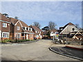
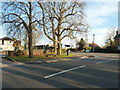
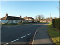
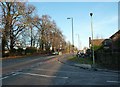

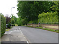
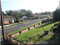
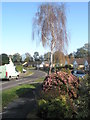
74 photos from this area
Area Information
Key information about the PO8 9EU including its size, population, and administrative classification.
- Area Type
- Postcode
- Area Size
- 7171 m²
- Population
- 1050
- Population Density
- 1924 people/km²
House Prices in PO8 9EU
11
Properties
£192,000
Average Sold Price
£107,500
Lowest Price
£275,000
Highest Price
Showing 11 properties
| Address | Type | Beds | Baths | Last Sale Price | Last Sale Date | |
|---|---|---|---|---|---|---|
| 2 Chestnut Avenue, Horndean, Waterlooville, PO8 9EU | Semi-detached | 2 | 1 | £275,000 | Oct 2018 | |
| 3 Chestnut Avenue, Horndean, Waterlooville, PO8 9EU | Semi-detached | - | - | £207,000 | Jan 2007 | |
| 9 Chestnut Avenue, Horndean, Waterlooville, PO8 9EU | Terraced | - | - | £178,500 | Nov 2006 | |
| 7 Chestnut Avenue, Horndean, Waterlooville, PO8 9EU | Bungalow | - | - | £107,500 | Mar 2001 | |
| 4 Chestnut Avenue, Horndean, Waterlooville, PO8 9EU | Semi-detached | - | - | - | - | |
| 6 Chestnut Avenue, Horndean, Waterlooville, PO8 9EU | Semi-detached | - | - | - | - | |
| 5 Chestnut Avenue, Horndean, Waterlooville, PO8 9EU | Semi-detached | - | - | - | - | |
| 10 Chestnut Avenue, Horndean, Waterlooville, PO8 9EU | Terraced | - | - | - | - | |
| 1 Chestnut Avenue, Horndean, Waterlooville, PO8 9EU | Semi-detached | - | - | - | - | |
| 11 Chestnut Avenue, Horndean, Waterlooville, PO8 9EU | Terraced | - | - | - | - |
Page 1 of 2
Energy Efficiency in PO8 9EU
Amenities
Schools
| Rank | School | Type | Entry gender | Ages |
|---|
Explore more schools in this area
Go to Schools tabDemographics
Household Size
Two person
most common
Accommodation Type
Houses
most common
Tenure
94
majority
Ethnic Group
White
most common
Religion
N/A
most common
Household Composition
N/A
most common
Age
47
median
Elderly (65+ years)
most common
Household Deprivation
N/A
with no deprivation
NS-SEC
38
in Lower managerial occupations
Explore more demographic insights in this area
Go to Demographics tabPlanning
Planning Constraints
- Flood RiskPremium
- Ramsar Wetland SitesPremium
- Area of Outstanding Natural BeautyPremium
- Protected Nature ReservePremium
- Protected WoodlandPremium