Area Overview for PO8 8AR
Photos of PO8 8AR
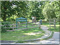
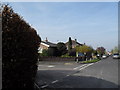
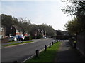
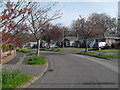
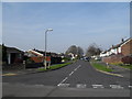
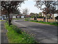
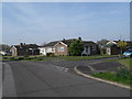
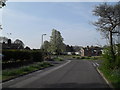
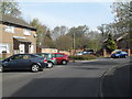
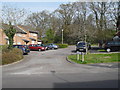
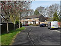
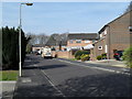
100 photos from this area
Area Information
Key information about the PO8 8AR including its size, population, and administrative classification.
- Area Type
- Postcode
- Area Size
- 9269 m²
- Population
- 1493
- Population Density
- 3623 people/km²
House Prices in PO8 8AR
20
Properties
£275,654
Average Sold Price
£193,000
Lowest Price
£382,500
Highest Price
Showing 20 properties
| Address | Type | Beds | Baths | Last Sale Price | Last Sale Date | |
|---|---|---|---|---|---|---|
| 2 Dudleston Heath Drive, Waterlooville, PO8 8AR | Semi-detached | 4 | 2 | £382,500 | Mar 2024 | |
| 10 Dudleston Heath Drive, Waterlooville, PO8 8AR | Semi-detached | 3 | 1 | £367,000 | Jan 2024 | |
| 12 Dudleston Heath Drive, Waterlooville, PO8 8AR | Semi-detached | 3 | 1 | £335,000 | May 2023 | |
| 1 Dudleston Heath Drive, Waterlooville, PO8 8AR | Semi-detached | 3 | 2 | £295,000 | Nov 2020 | |
| 16 Dudleston Heath Drive, Waterlooville, PO8 8AR | house | - | - | £290,000 | Aug 2020 | |
| 18 Dudleston Heath Drive, Waterlooville, PO8 8AR | house | - | - | £260,000 | Jun 2020 | |
| 17 Dudleston Heath Drive, Waterlooville, PO8 8AR | Semi-detached | 3 | 1 | £245,000 | Sep 2019 | |
| 21 Dudleston Heath Drive, Waterlooville, PO8 8AR | Semi-detached | 3 | 1 | £263,000 | Oct 2017 | |
| 15 Dudleston Heath Drive, Waterlooville, PO8 8AR | Semi-detached | 4 | 2 | £274,000 | Jul 2017 | |
| 8 Dudleston Heath Drive, Waterlooville, PO8 8AR | house | 3 | 1 | £265,000 | Nov 2016 |
Page 1 of 2
Energy Efficiency in PO8 8AR
Amenities
Schools
| Rank | School | Type | Entry gender | Ages |
|---|
Explore more schools in this area
Go to Schools tabDemographics
Household Size
Two person
most common
Accommodation Type
Houses
most common
Tenure
89
majority
Ethnic Group
White
most common
Religion
N/A
most common
Household Composition
N/A
most common
Age
47
median
Adults (30-64 years)
most common
Household Deprivation
N/A
with no deprivation
NS-SEC
39
in Lower managerial occupations
Explore more demographic insights in this area
Go to Demographics tabPlanning
Planning Constraints
- Flood RiskPremium
- Ramsar Wetland SitesPremium
- Area of Outstanding Natural BeautyPremium
- Protected Nature ReservePremium
- Protected WoodlandPremium