Area Overview for PO7 8SU
Photos of PO7 8SU
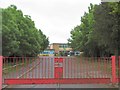
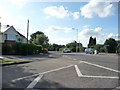
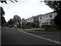
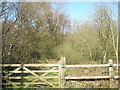
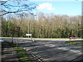
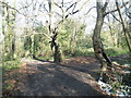
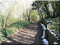
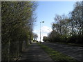
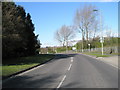
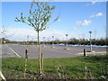
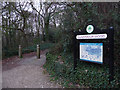
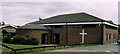
100 photos from this area
Area Information
Key information about the PO7 8SU including its size, population, and administrative classification.
- Area Type
- Postcode
- Area Size
- 1.8 hectares
- Population
- 1432
- Population Density
- 2205 people/km²
House Prices in PO7 8SU
38
Properties
£121,791
Average Sold Price
£49,995
Lowest Price
£210,000
Highest Price
Showing 38 properties
| Address | Type | Beds | Baths | Last Sale Price | Last Sale Date | |
|---|---|---|---|---|---|---|
| 22 Tor Close, Waterlooville, PO7 8SU | Flat | 2 | 1 | £178,500 | Jul 2025 | |
| 14 Tor Close, Waterlooville, PO7 8SU | Flat | 2 | 1 | £174,000 | May 2025 | |
| 38 Tor Close, Waterlooville, PO7 8SU | Flat | - | - | £153,000 | Jan 2025 | |
| 32 Tor Close, Waterlooville, PO7 8SU | Flat | 1 | - | £130,000 | Jan 2022 | |
| 7 Tor Close, Waterlooville, PO7 8SU | Flat | - | - | £120,000 | Sep 2021 | |
| 17 Tor Close, Waterlooville, PO7 8SU | Flat | 1 | 1 | £125,000 | May 2021 | |
| 21 Tor Close, Waterlooville, PO7 8SU | Flat | - | - | £168,000 | Jun 2020 | |
| 36 Tor Close, Waterlooville, PO7 8SU | Terraced | 2 | 1 | £210,000 | Feb 2019 | |
| 15 Tor Close, Waterlooville, PO7 8SU | Flat | - | - | £122,000 | Nov 2018 | |
| 6 Tor Close, Waterlooville, PO7 8SU | Flat | - | - | £106,500 | Jun 2018 |
Page 1 of 4
Energy Efficiency in PO7 8SU
Amenities
Schools
| Rank | School | Type | Entry gender | Ages |
|---|
Explore more schools in this area
Go to Schools tabDemographics
Household Size
Two person
most common
Accommodation Type
Houses
most common
Tenure
84
majority
Ethnic Group
White
most common
Religion
N/A
most common
Household Composition
N/A
most common
Age
47
median
Adults (30-64 years)
most common
Household Deprivation
N/A
with no deprivation
NS-SEC
35
in Lower managerial occupations
Explore more demographic insights in this area
Go to Demographics tabPlanning
Planning Constraints
- Flood RiskPremium
- Ramsar Wetland SitesPremium
- Area of Outstanding Natural BeautyPremium
- Protected Nature ReservePremium
- Protected WoodlandPremium