Area Overview for PO7 5NR
Photos of PO7 5NR
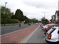
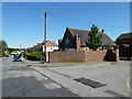
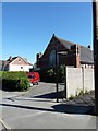
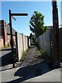
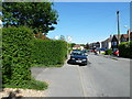
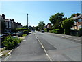
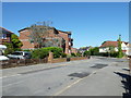
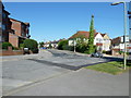
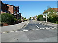
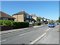
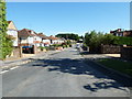
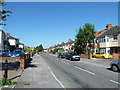
100 photos from this area
Area Information
Key information about the PO7 5NR including its size, population, and administrative classification.
- Area Type
- Postcode
- Area Size
- 1.0 hectares
- Population
- 1768
- Population Density
- 4656 people/km²
House Prices in PO7 5NR
14
Properties
£328,773
Average Sold Price
£5,000
Lowest Price
£517,500
Highest Price
Showing 14 properties
| Address | Type | Beds | Baths | Last Sale Price | Last Sale Date | |
|---|---|---|---|---|---|---|
| 89 Stakes Road, Waterlooville, PO7 5NR | Detached | 5 | 3 | £517,500 | Oct 2025 | |
| 97 Stakes Road, Waterlooville, PO7 5NR | Semi-detached | 3 | 1 | £270,000 | Oct 2021 | |
| 93 Stakes Road, Waterlooville, PO7 5NR | Detached | 4 | 1 | £405,000 | Mar 2021 | |
| 85 Stakes Road, Waterlooville, PO7 5NR | Bungalow | 6 | 2 | £475,000 | Jan 2021 | |
| 93A Stakes Road, Waterlooville, PO7 5NR | Detached | 4 | 2 | £400,000 | Oct 2020 | |
| 91 Stakes Road, Waterlooville, PO7 5NR | Detached | 4 | 3 | £475,000 | Jul 2018 | |
| 99 Stakes Road, Waterlooville, PO7 5NR | Detached | 3 | 2 | £5,000 | Nov 2016 | |
| 87 Stakes Road, Waterlooville, PO7 5NR | Bungalow | 3 | - | £243,000 | Jul 2015 | |
| 105 Stakes Road, Waterlooville, PO7 5NR | Detached | - | - | £322,500 | Aug 2009 | |
| 109 Stakes Road, Waterlooville, PO7 5NR | Detached | - | - | £398,500 | Jul 2005 |
Page 1 of 2
Energy Efficiency in PO7 5NR
Amenities
Schools
| Rank | School | Type | Entry gender | Ages |
|---|
Explore more schools in this area
Go to Schools tabDemographics
Household Size
Two person
most common
Accommodation Type
Houses
most common
Tenure
92
majority
Ethnic Group
White
most common
Religion
N/A
most common
Household Composition
N/A
most common
Age
47
median
Adults (30-64 years)
most common
Household Deprivation
N/A
with no deprivation
NS-SEC
40
in Lower managerial occupations
Explore more demographic insights in this area
Go to Demographics tabPlanning
Planning Constraints
- Flood RiskPremium
- Ramsar Wetland SitesPremium
- Area of Outstanding Natural BeautyPremium
- Protected Nature ReservePremium
- Protected WoodlandPremium