Area Overview for PO7 5EX
Photos of PO7 5EX
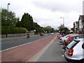
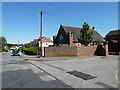
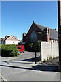
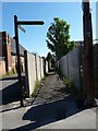
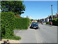
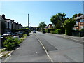
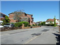
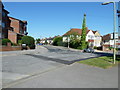
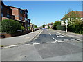
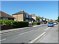
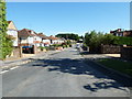
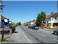
100 photos from this area
Area Information
Key information about the PO7 5EX including its size, population, and administrative classification.
- Area Type
- Postcode
- Area Size
- 9057 m²
- Population
- 1646
- Population Density
- 4626 people/km²
House Prices in PO7 5EX
20
Properties
£248,000
Average Sold Price
£113,000
Lowest Price
£525,000
Highest Price
Showing 20 properties
| Address | Type | Beds | Baths | Last Sale Price | Last Sale Date | |
|---|---|---|---|---|---|---|
| 5 Elstead Gardens, Waterlooville, PO7 5EX | Terraced | 3 | 1 | £307,000 | Oct 2024 | |
| 16A Elstead Gardens, Waterlooville, PO7 5EX | Detached | 4 | 2 | £525,000 | Jul 2024 | |
| 11 Elstead Gardens, Waterlooville, PO7 5EX | house | - | - | £333,000 | May 2022 | |
| 6 Elstead Gardens, Waterlooville, PO7 5EX | house | - | - | £285,000 | Dec 2021 | |
| 15 Elstead Gardens, Waterlooville, PO7 5EX | Terraced | 3 | 1 | £265,000 | Jan 2021 | |
| 13 Elstead Gardens, Waterlooville, PO7 5EX | Terraced | 3 | 1 | £250,000 | Aug 2018 | |
| 17 Elstead Gardens, Waterlooville, PO7 5EX | Chalet | 2 | 1 | £237,500 | Jan 2016 | |
| 3 Elstead Gardens, Waterlooville, PO7 5EX | Terraced | - | - | £187,000 | Dec 2010 | |
| 16 Elstead Gardens, Waterlooville, PO7 5EX | Terraced | - | - | £173,000 | Sep 2005 | |
| 4 Elstead Gardens, Waterlooville, PO7 5EX | Terraced | - | - | £180,500 | Jan 2004 |
Page 1 of 2
Energy Efficiency in PO7 5EX
Amenities
Schools
| Rank | School | Type | Entry gender | Ages |
|---|
Explore more schools in this area
Go to Schools tabDemographics
Household Size
Two person
most common
Accommodation Type
Houses
most common
Tenure
84
majority
Ethnic Group
White
most common
Religion
N/A
most common
Household Composition
N/A
most common
Age
47
median
Adults (30-64 years)
most common
Household Deprivation
N/A
with no deprivation
NS-SEC
36
in Lower managerial occupations
Explore more demographic insights in this area
Go to Demographics tabPlanning
Planning Constraints
- Flood RiskPremium
- Ramsar Wetland SitesPremium
- Area of Outstanding Natural BeautyPremium
- Protected Nature ReservePremium
- Protected WoodlandPremium