Area Overview for PO6 4ES
Photos of PO6 4ES
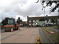


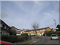
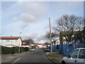
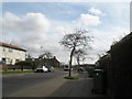
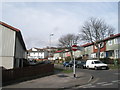
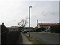
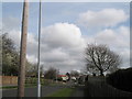
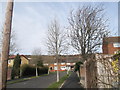

100 photos from this area
Area Information
Key information about the PO6 4ES including its size, population, and administrative classification.
- Area Type
- Postcode
- Area Size
- 1.4 hectares
- Population
- 1527
- Population Density
- 2765 people/km²
House Prices in PO6 4ES
44
Properties
£144,090
Average Sold Price
£47,950
Lowest Price
£250,000
Highest Price
Showing 44 properties
| Address | Type | Beds | Baths | Last Sale Price | Last Sale Date | |
|---|---|---|---|---|---|---|
| 39 Chedworth Crescent, Portsmouth, PO6 4ES | Semi-detached | 3 | 1 | £250,000 | Oct 2024 | |
| 31 Chedworth Crescent, Portsmouth, PO6 4ES | house | - | - | £192,500 | Feb 2022 | |
| 79 Chedworth Crescent, Portsmouth, PO6 4ES | house | - | - | £205,000 | Apr 2021 | |
| 95 Chedworth Crescent, Portsmouth, PO6 4ES | Terraced | 3 | 1 | £163,000 | Jan 2021 | |
| 73 Chedworth Crescent, Portsmouth, PO6 4ES | Terraced | 3 | 1 | £185,000 | Jul 2020 | |
| 43 Chedworth Crescent, Portsmouth, PO6 4ES | Semi-detached | 3 | 1 | £171,000 | Jun 2020 | |
| 35 Chedworth Crescent, Portsmouth, PO6 4ES | Terraced | 3 | 1 | £160,000 | Mar 2019 | |
| 81 Chedworth Crescent, Portsmouth, PO6 4ES | house | - | - | £215,000 | Jul 2018 | |
| 45 Chedworth Crescent, Portsmouth, PO6 4ES | Semi-detached | 3 | 1 | £165,000 | Oct 2017 | |
| 61 Chedworth Crescent, Portsmouth, PO6 4ES | Semi-detached | 3 | - | £150,000 | Nov 2016 |
Page 1 of 5
Energy Efficiency in PO6 4ES
Amenities
Schools
| Rank | School | Type | Entry gender | Ages |
|---|
Explore more schools in this area
Go to Schools tabDemographics
Household Size
Family (3-5 people)
most common
Accommodation Type
Houses
most common
Tenure
51
majority
Ethnic Group
White
most common
Religion
N/A
most common
Household Composition
N/A
most common
Age
47
median
Adults (30-64 years)
most common
Household Deprivation
N/A
with no deprivation
NS-SEC
20
in Lower managerial occupations
Explore more demographic insights in this area
Go to Demographics tabPlanning
Planning Constraints
- Flood RiskPremium
- Ramsar Wetland SitesPremium
- Area of Outstanding Natural BeautyPremium
- Protected Nature ReservePremium
- Protected WoodlandPremium