Area Overview for PO6 4AE
Photos of PO6 4AE
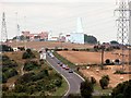
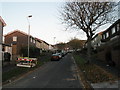
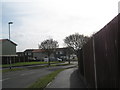
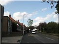
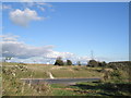
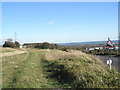
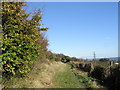
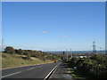
100 photos from this area
Area Information
Key information about the PO6 4AE including its size, population, and administrative classification.
- Area Type
- Postcode
- Area Size
- 1.5 hectares
- Population
- 1857
- Population Density
- 5821 people/km²
House Prices in PO6 4AE
43
Properties
£128,464
Average Sold Price
£34,000
Lowest Price
£235,000
Highest Price
Showing 43 properties
| Address | Type | Beds | Baths | Last Sale Price | Last Sale Date | |
|---|---|---|---|---|---|---|
| 83 Ludlow Road, Portsmouth, PO6 4AE | Terraced | 3 | 1 | £235,000 | Jun 2025 | |
| 79 Ludlow Road, Portsmouth, PO6 4AE | Terraced | 3 | 1 | £185,000 | Nov 2020 | |
| 99 Ludlow Road, Portsmouth, PO6 4AE | house | - | - | £143,000 | Sep 2020 | |
| 97 Ludlow Road, Portsmouth, PO6 4AE | Semi-detached | 3 | 1 | £180,000 | Jul 2018 | |
| 64 Ludlow Road, Portsmouth, PO6 4AE | Semi-detached | 3 | 1 | £160,000 | Mar 2018 | |
| 71 Ludlow Road, Portsmouth, PO6 4AE | Semi-detached | 3 | 1 | £180,000 | Oct 2017 | |
| 76 Ludlow Road, Portsmouth, PO6 4AE | Semi-detached | 3 | - | £150,000 | Aug 2015 | |
| 95 Ludlow Road, Portsmouth, PO6 4AE | Terraced | 3 | 1 | £125,000 | Jul 2015 | |
| 103 Ludlow Road, Portsmouth, PO6 4AE | house | - | - | £137,000 | Aug 2014 | |
| 69 Ludlow Road, Portsmouth, PO6 4AE | Terraced | 3 | 1 | £126,500 | Mar 2005 |
Page 1 of 5
Energy Efficiency in PO6 4AE
Amenities
Schools
| Rank | School | Type | Entry gender | Ages |
|---|
Explore more schools in this area
Go to Schools tabDemographics
Household Size
Family (3-5 people)
most common
Accommodation Type
Houses
most common
Tenure
47
majority
Ethnic Group
White
most common
Religion
N/A
most common
Household Composition
N/A
most common
Age
47
median
Adults (30-64 years)
most common
Household Deprivation
N/A
with no deprivation
NS-SEC
18
in Lower managerial occupations
Explore more demographic insights in this area
Go to Demographics tabPlanning
Planning Constraints
- Flood RiskPremium
- Ramsar Wetland SitesPremium
- Area of Outstanding Natural BeautyPremium
- Protected Nature ReservePremium
- Protected WoodlandPremium