Area Overview for PO6 2QS
Photos of PO6 2QS
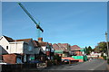
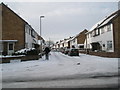
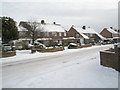
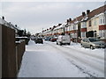
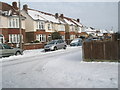
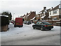
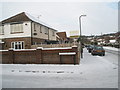
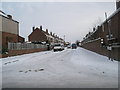
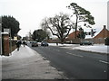
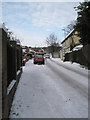
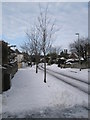
100 photos from this area
Area Information
Key information about the PO6 2QS including its size, population, and administrative classification.
- Area Type
- Postcode
- Area Size
- 1.1 hectares
- Population
- 1720
- Population Density
- 1782 people/km²
House Prices in PO6 2QS
46
Properties
£157,653
Average Sold Price
£36,500
Lowest Price
£360,000
Highest Price
Showing 46 properties
| Address | Type | Beds | Baths | Last Sale Price | Last Sale Date | |
|---|---|---|---|---|---|---|
| 47 Park Lane, Portsmouth, PO6 2QS | Detached | 3 | 2 | £360,000 | Jun 2025 | |
| 27 Park Lane, Portsmouth, PO6 2QS | house | - | - | £240,000 | Sep 2021 | |
| 21 Park Lane, Portsmouth, PO6 2QS | house | - | - | £210,734 | Jul 2021 | |
| 29 Park Lane, Portsmouth, PO6 2QS | house | 2 | 1 | £230,000 | Jan 2021 | |
| 31 Park Lane, Portsmouth, PO6 2QS | Semi-detached | 1 | 1 | £199,000 | Oct 2019 | |
| 53 Park Lane, Portsmouth, PO6 2QS | Semi-detached | 2 | 1 | £185,000 | Jul 2019 | |
| 13 Park Lane, Portsmouth, PO6 2QS | Terraced | 3 | - | £270,000 | Apr 2019 | |
| 11 Park Lane, Portsmouth, PO6 2QS | Terraced | 3 | 1 | £245,000 | Mar 2019 | |
| 35 Park Lane, Portsmouth, PO6 2QS | Terraced | 2 | 1 | £197,000 | Apr 2018 | |
| 41 Park Lane, Portsmouth, PO6 2QS | Terraced | 2 | 1 | £135,000 | Apr 2017 |
Page 1 of 5
Energy Efficiency in PO6 2QS
Amenities
Schools
| Rank | School | Type | Entry gender | Ages |
|---|
Explore more schools in this area
Go to Schools tabDemographics
Household Size
Two person
most common
Accommodation Type
Houses
most common
Tenure
72
majority
Ethnic Group
White
most common
Religion
N/A
most common
Household Composition
N/A
most common
Age
47
median
Adults (30-64 years)
most common
Household Deprivation
N/A
with no deprivation
NS-SEC
39
in Lower managerial occupations
Explore more demographic insights in this area
Go to Demographics tabPlanning
Planning Constraints
- Flood RiskPremium
- Ramsar Wetland SitesPremium
- Area of Outstanding Natural BeautyPremium
- Protected Nature ReservePremium
- Protected WoodlandPremium