Area Overview for PO6 2QL
Photos of PO6 2QL
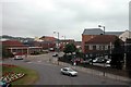
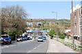
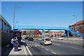
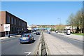
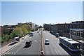
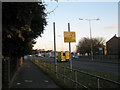

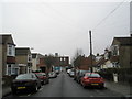
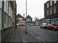
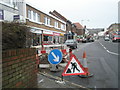
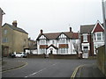
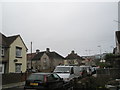
100 photos from this area
Area Information
Key information about the PO6 2QL including its size, population, and administrative classification.
- Area Type
- Postcode
- Area Size
- 6685 m²
- Population
- 2157
- Population Density
- 2668 people/km²
House Prices in PO6 2QL
18
Properties
£244,857
Average Sold Price
£74,000
Lowest Price
£415,000
Highest Price
Showing 18 properties
| Address | Type | Beds | Baths | Last Sale Price | Last Sale Date | |
|---|---|---|---|---|---|---|
| Broad Reach, Dorking Crescent, Portsmouth, PO6 2QL | Bungalow | 2 | 1 | £375,000 | Dec 2023 | |
| 61 Dorking Crescent, Portsmouth, PO6 2QL | house | - | - | £316,000 | Sep 2021 | |
| 63 Dorking Crescent, Portsmouth, PO6 2QL | Detached | 5 | 2 | £415,000 | Jun 2021 | |
| 49 Dorking Crescent, Portsmouth, PO6 2QL | Detached | 4 | - | £323,000 | Dec 2016 | |
| 67 Dorking Crescent, Portsmouth, PO6 2QL | Semi-detached | 4 | 1 | £260,000 | Nov 2016 | |
| 71 Dorking Crescent, Portsmouth, PO6 2QL | Terraced | 4 | - | £285,000 | Jul 2016 | |
| 57 Dorking Crescent, Portsmouth, PO6 2QL | Semi-detached | 3 | 1 | £230,000 | Sep 2015 | |
| 51 Dorking Crescent, Portsmouth, PO6 2QL | Semi-detached | 4 | - | £209,000 | Sep 2014 | |
| 69 Dorking Crescent, Portsmouth, PO6 2QL | Terraced | 4 | - | £230,000 | Jul 2013 | |
| 7 Dorking Crescent, Portsmouth, PO6 2QL | house | 3 | - | £180,000 | Oct 2011 |
Page 1 of 2
Energy Efficiency in PO6 2QL
Amenities
Schools
| Rank | School | Type | Entry gender | Ages |
|---|
Explore more schools in this area
Go to Schools tabDemographics
Household Size
Family (3-5 people)
most common
Accommodation Type
Flats
most common
Tenure
35
majority
Ethnic Group
White
most common
Religion
N/A
most common
Household Composition
N/A
most common
Age
47
median
Adults (30-64 years)
most common
Household Deprivation
N/A
with no deprivation
NS-SEC
28
in Lower managerial occupations
Explore more demographic insights in this area
Go to Demographics tabPlanning
Planning Constraints
- Flood RiskPremium
- Ramsar Wetland SitesPremium
- Area of Outstanding Natural BeautyPremium
- Protected Nature ReservePremium
- Protected WoodlandPremium