Area Overview for PO6 2PP
Photos of PO6 2PP
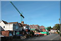
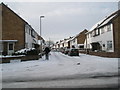
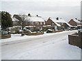
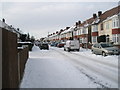
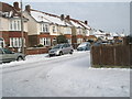
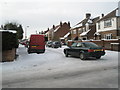
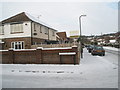
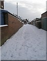
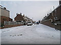
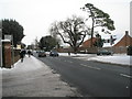
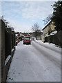
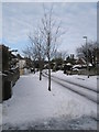
100 photos from this area
Area Information
Key information about the PO6 2PP including its size, population, and administrative classification.
- Area Type
- Postcode
- Area Size
- 1.8 hectares
- Population
- 1354
- Population Density
- 6611 people/km²
House Prices in PO6 2PP
15
Properties
£165,246
Average Sold Price
£58,000
Lowest Price
£397,500
Highest Price
Showing 15 properties
| Address | Type | Beds | Baths | Last Sale Price | Last Sale Date | |
|---|---|---|---|---|---|---|
| 29 Hilary Avenue, Portsmouth, PO6 2PP | house | 5 | 2 | £397,500 | Feb 2022 | |
| 3 Hilary Avenue, Portsmouth, PO6 2PP | Terraced | 3 | 1 | £260,000 | May 2021 | |
| 21 Hilary Avenue, Portsmouth, PO6 2PP | house | 3 | - | £260,000 | Jun 2016 | |
| 11 Hilary Avenue, Portsmouth, PO6 2PP | house | - | - | £179,450 | Mar 2010 | |
| 17 Hilary Avenue, Portsmouth, PO6 2PP | house | 3 | - | £193,000 | Aug 2004 | |
| 25 Hilary Avenue, Portsmouth, PO6 2PP | house | - | - | £186,000 | Jul 2003 | |
| 9 Hilary Avenue, Portsmouth, PO6 2PP | Terraced | - | - | £98,500 | Jul 2001 | |
| 27 Hilary Avenue, Portsmouth, PO6 2PP | Terraced | 4 | 2 | £118,000 | Apr 2001 | |
| 7 Hilary Avenue, Portsmouth, PO6 2PP | Terraced | - | - | £80,000 | May 2000 | |
| 5 Hilary Avenue, Portsmouth, PO6 2PP | Terraced | - | - | £78,000 | Oct 1998 |
Page 1 of 2
Energy Efficiency in PO6 2PP
Amenities
Schools
| Rank | School | Type | Entry gender | Ages |
|---|
Explore more schools in this area
Go to Schools tabDemographics
Household Size
Family (3-5 people)
most common
Accommodation Type
Houses
most common
Tenure
89
majority
Ethnic Group
White
most common
Religion
N/A
most common
Household Composition
N/A
most common
Age
47
median
Adults (30-64 years)
most common
Household Deprivation
N/A
with no deprivation
NS-SEC
39
in Lower managerial occupations
Explore more demographic insights in this area
Go to Demographics tabPlanning
Planning Constraints
- Flood RiskPremium
- Ramsar Wetland SitesPremium
- Area of Outstanding Natural BeautyPremium
- Protected Nature ReservePremium
- Protected WoodlandPremium