Area Overview for PO6 2NU
Photos of PO6 2NU
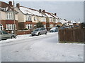
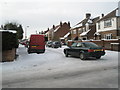
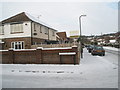
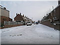
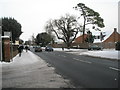
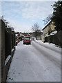
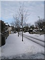
100 photos from this area
Area Information
Key information about the PO6 2NU including its size, population, and administrative classification.
- Area Type
- Postcode
- Area Size
- 6132 m²
- Population
- 1962
- Population Density
- 3024 people/km²
House Prices in PO6 2NU
22
Properties
£178,353
Average Sold Price
£66,000
Lowest Price
£274,000
Highest Price
Showing 22 properties
| Address | Type | Beds | Baths | Last Sale Price | Last Sale Date | |
|---|---|---|---|---|---|---|
| 19 Langdale Avenue, Portsmouth, PO6 2NU | Terraced | 3 | 1 | £238,000 | Nov 2019 | |
| 16 Langdale Avenue, Portsmouth, PO6 2NU | Terraced | 4 | 2 | £274,000 | Feb 2019 | |
| 1 Langdale Avenue, Portsmouth, PO6 2NU | Terraced | 3 | 1 | £266,500 | May 2017 | |
| 18 Langdale Avenue, Portsmouth, PO6 2NU | Terraced | 4 | 2 | £231,500 | Dec 2016 | |
| 20 Langdale Avenue, Portsmouth, PO6 2NU | Terraced | 3 | 1 | £195,000 | Mar 2016 | |
| 7 Langdale Avenue, Portsmouth, PO6 2NU | Terraced | 3 | 1 | £235,000 | Aug 2015 | |
| 15 Langdale Avenue, Portsmouth, PO6 2NU | house | 3 | - | £186,000 | Jan 2013 | |
| 4 Langdale Avenue, Portsmouth, PO6 2NU | Terraced | - | - | £175,000 | Jun 2009 | |
| 11 Langdale Avenue, Portsmouth, PO6 2NU | Terraced | - | - | £181,000 | Jul 2007 | |
| 21 Langdale Avenue, Portsmouth, PO6 2NU | Detached | 3 | 1 | £185,000 | Aug 2006 |
Page 1 of 3
Energy Efficiency in PO6 2NU
Amenities
Schools
| Rank | School | Type | Entry gender | Ages |
|---|
Explore more schools in this area
Go to Schools tabDemographics
Household Size
Family (3-5 people)
most common
Accommodation Type
Houses
most common
Tenure
84
majority
Ethnic Group
White
most common
Religion
N/A
most common
Household Composition
N/A
most common
Age
47
median
Adults (30-64 years)
most common
Household Deprivation
N/A
with no deprivation
NS-SEC
41
in Lower managerial occupations
Explore more demographic insights in this area
Go to Demographics tabPlanning
Planning Constraints
- Flood RiskPremium
- Ramsar Wetland SitesPremium
- Area of Outstanding Natural BeautyPremium
- Protected Nature ReservePremium
- Protected WoodlandPremium