Area Overview for PO6 2NB
Photos of PO6 2NB
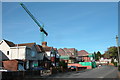
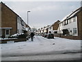
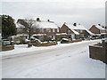
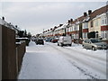
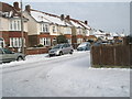
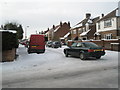
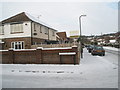
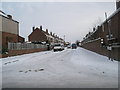
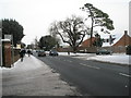
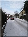
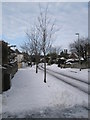
100 photos from this area
Area Information
Key information about the PO6 2NB including its size, population, and administrative classification.
- Area Type
- Postcode
- Area Size
- 5138 m²
- Population
- 1962
- Population Density
- 3024 people/km²
House Prices in PO6 2NB
15
Properties
£199,182
Average Sold Price
£68,000
Lowest Price
£282,500
Highest Price
Showing 15 properties
| Address | Type | Beds | Baths | Last Sale Price | Last Sale Date | |
|---|---|---|---|---|---|---|
| 29 Braemar Avenue, Portsmouth, PO6 2NB | Semi-detached | 3 | 1 | £274,000 | Sep 2020 | |
| 25 Braemar Avenue, Portsmouth, PO6 2NB | Terraced | 3 | 1 | £282,500 | Mar 2018 | |
| 17 Braemar Avenue, Portsmouth, PO6 2NB | Terraced | 3 | 1 | £279,000 | Jun 2017 | |
| 27 Braemar Avenue, Portsmouth, PO6 2NB | Terraced | 3 | 2 | £240,000 | Jun 2015 | |
| 23 Braemar Avenue, Portsmouth, PO6 2NB | house | - | - | £217,500 | Apr 2014 | |
| 9 Braemar Avenue, Portsmouth, PO6 2NB | Terraced | - | - | £145,000 | Mar 2007 | |
| 7 Braemar Avenue, Portsmouth, PO6 2NB | Terraced | - | - | £189,000 | Jun 2004 | |
| 11 Braemar Avenue, Portsmouth, PO6 2NB | Semi-detached | - | - | £210,000 | Apr 2004 | |
| 21 Braemar Avenue, Portsmouth, PO6 2NB | Semi-detached | - | - | £179,000 | Oct 2003 | |
| 1 Braemar Avenue, Portsmouth, PO6 2NB | Semi-detached | 3 | 2 | £107,000 | Oct 2000 |
Page 1 of 2
Energy Efficiency in PO6 2NB
Amenities
Schools
| Rank | School | Type | Entry gender | Ages |
|---|
Explore more schools in this area
Go to Schools tabDemographics
Household Size
Family (3-5 people)
most common
Accommodation Type
Houses
most common
Tenure
84
majority
Ethnic Group
White
most common
Religion
N/A
most common
Household Composition
N/A
most common
Age
47
median
Adults (30-64 years)
most common
Household Deprivation
N/A
with no deprivation
NS-SEC
41
in Lower managerial occupations
Explore more demographic insights in this area
Go to Demographics tabPlanning
Planning Constraints
- Flood RiskPremium
- Ramsar Wetland SitesPremium
- Area of Outstanding Natural BeautyPremium
- Protected Nature ReservePremium
- Protected WoodlandPremium