Area Overview for PO5 4EH
Photos of PO5 4EH
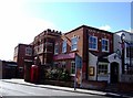
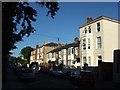
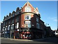
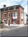
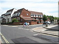
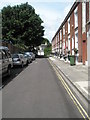
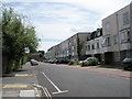
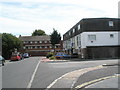
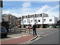
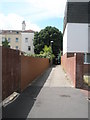
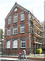
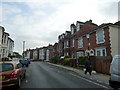
100 photos from this area
Area Information
Key information about the PO5 4EH including its size, population, and administrative classification.
- Area Type
- Postcode
- Area Size
- 4670 m²
- Population
- 1661
- Population Density
- 14978 people/km²
House Prices in PO5 4EH
32
Properties
£253,972
Average Sold Price
£118,000
Lowest Price
£425,000
Highest Price
Showing 32 properties
| Address | Type | Beds | Baths | Last Sale Price | Last Sale Date | |
|---|---|---|---|---|---|---|
| 96 King Street, Southsea, PO5 4EH | Terraced | 3 | 1 | £425,000 | Aug 2024 | |
| 120 King Street, Southsea, PO5 4EH | house | 4 | - | £370,000 | May 2021 | |
| 72 King Street, Southsea, PO5 4EH | house | 4 | 2 | £370,000 | Mar 2021 | |
| 102 King Street, Southsea, PO5 4EH | Terraced | 3 | 1 | £315,500 | Apr 2017 | |
| 118 King Street, Southsea, PO5 4EH | Terraced | 2 | 1 | £207,000 | Apr 2015 | |
| 94 King Street, Southsea, PO5 4EH | Terraced | 4 | 2 | £317,000 | Aug 2014 | |
| 128 King Street, Southsea, PO5 4EH | house | - | - | £180,000 | May 2014 | |
| 106 King Street, Southsea, PO5 4EH | Terraced | 4 | - | £272,000 | Jan 2014 | |
| 80 King Street, Southsea, PO5 4EH | Terraced | 3 | - | £335,000 | Aug 2013 | |
| 112 King Street, Southsea, PO5 4EH | house | 2 | - | £225,000 | Aug 2011 |
Page 1 of 4
Energy Efficiency in PO5 4EH
Amenities
Schools
| Rank | School | Type | Entry gender | Ages |
|---|
Explore more schools in this area
Go to Schools tabDemographics
Household Size
One person
most common
Accommodation Type
Flats
most common
Tenure
35
majority
Ethnic Group
White
most common
Religion
N/A
most common
Household Composition
N/A
most common
Age
47
median
Adults (30-64 years)
most common
Household Deprivation
N/A
with no deprivation
NS-SEC
23
in Lower managerial occupations
Explore more demographic insights in this area
Go to Demographics tabPlanning
Planning Constraints
- Flood RiskPremium
- Ramsar Wetland SitesPremium
- Area of Outstanding Natural BeautyPremium
- Protected Nature ReservePremium
- Protected WoodlandPremium