Area Overview for PO5 3BH
Photos of PO5 3BH

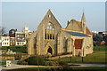
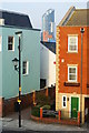
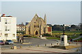
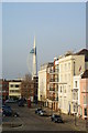
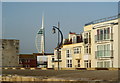
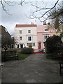
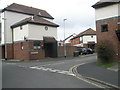
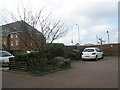
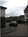
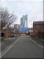
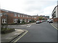
100 photos from this area
Area Information
Key information about the PO5 3BH including its size, population, and administrative classification.
- Area Type
- Postcode
- Area Size
- 2765 m²
- Population
- 1613
- Population Density
- 11546 people/km²
House Prices in PO5 3BH
10
Properties
£131,312
Average Sold Price
£39,000
Lowest Price
£175,000
Highest Price
Showing 10 properties
| Address | Type | Beds | Baths | Last Sale Price | Last Sale Date | |
|---|---|---|---|---|---|---|
| 12 Flint Street, Southsea, PO5 3BH | Flat | - | - | £175,000 | Sep 2020 | |
| 6 Flint Street, Southsea, PO5 3BH | Flat | - | - | £165,000 | May 2020 | |
| 16 Flint Street, Southsea, PO5 3BH | Flat | - | - | £170,000 | Mar 2016 | |
| 10 Flint Street, Southsea, PO5 3BH | Flat | - | - | £126,000 | Dec 2009 | |
| 4 Flint Street, Southsea, PO5 3BH | Flat | 1 | 1 | £124,995 | Oct 2007 | |
| 18 Flint Street, Southsea, PO5 3BH | Flat | 3 | 1 | £136,500 | May 2006 | |
| 8 Flint Street, Southsea, PO5 3BH | Flat | - | - | £114,000 | Aug 2003 | |
| 20 Flint Street, Southsea, PO5 3BH | Flat | - | - | £39,000 | Oct 1996 | |
| 14 Flint Street, Southsea, PO5 3BH | Flat | - | - | - | - | |
| Former, 6 Flint Street, Southsea, PO5 3BH | Semi-detached | - | - | - | - |
Energy Efficiency in PO5 3BH
Amenities
Schools
| Rank | School | Type | Entry gender | Ages |
|---|
Explore more schools in this area
Go to Schools tabDemographics
Household Size
One person
most common
Accommodation Type
Flats
most common
Tenure
37
majority
Ethnic Group
White
most common
Religion
N/A
most common
Household Composition
N/A
most common
Age
47
median
Adults (30-64 years)
most common
Household Deprivation
N/A
with no deprivation
NS-SEC
37
in Lower managerial occupations
Explore more demographic insights in this area
Go to Demographics tabPlanning
Planning Constraints
- Flood RiskPremium
- Ramsar Wetland SitesPremium
- Area of Outstanding Natural BeautyPremium
- Protected Nature ReservePremium
- Protected WoodlandPremium