Area Overview for PO5 2QR
Photos of PO5 2QR
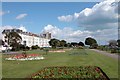
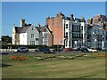
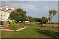
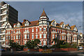
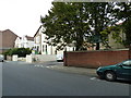
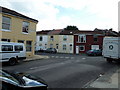
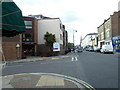
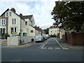
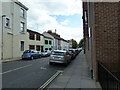
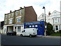
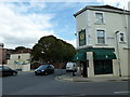
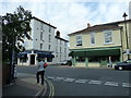
100 photos from this area
Area Information
Key information about the PO5 2QR including its size, population, and administrative classification.
- Area Type
- Postcode
- Area Size
- 6771 m²
- Population
- 1704
- Population Density
- 13632 people/km²
House Prices in PO5 2QR
49
Properties
£191,651
Average Sold Price
£27,000
Lowest Price
£375,000
Highest Price
Showing 49 properties
| Address | Type | Beds | Baths | Last Sale Price | Last Sale Date | |
|---|---|---|---|---|---|---|
| 49 St Vincent Road, Southsea, PO5 2QR | Terraced | 2 | 1 | £299,995 | Nov 2025 | |
| 41 St Vincent Road, Southsea, PO5 2QR | Terraced | 3 | 1 | £240,000 | May 2024 | |
| 36 St Vincent Road, Southsea, PO5 2QR | house | - | - | £325,000 | Jul 2023 | |
| 18 St Vincent Road, Southsea, PO5 2QR | Terraced | 2 | 1 | £340,000 | Dec 2022 | |
| 47 St Vincent Road, Southsea, PO5 2QR | Terraced | 4 | 1 | £340,000 | Dec 2022 | |
| 19 St Vincent Road, Southsea, PO5 2QR | Semi-detached | 4 | 3 | £375,000 | Jul 2022 | |
| 21 St Vincent Road, Southsea, PO5 2QR | Flat | - | - | £169,950 | Jan 2020 | |
| 50 St Vincent Road, Southsea, PO5 2QR | Terraced | 3 | 1 | £325,000 | Dec 2019 | |
| 20 St Vincent Road, Southsea, PO5 2QR | house | - | - | £284,000 | May 2019 | |
| 44 St Vincent Road, Southsea, PO5 2QR | Terraced | 3 | 1 | £97,500 | Nov 2017 |
Page 1 of 5
Energy Efficiency in PO5 2QR
Amenities
Schools
| Rank | School | Type | Entry gender | Ages |
|---|
Explore more schools in this area
Go to Schools tabDemographics
Household Size
One person
most common
Accommodation Type
Houses
most common
Tenure
55
majority
Ethnic Group
White
most common
Religion
N/A
most common
Household Composition
N/A
most common
Age
47
median
Adults (30-64 years)
most common
Household Deprivation
N/A
with no deprivation
NS-SEC
38
in Lower managerial occupations
Explore more demographic insights in this area
Go to Demographics tabPlanning
Planning Constraints
- Flood RiskPremium
- Ramsar Wetland SitesPremium
- Area of Outstanding Natural BeautyPremium
- Protected Nature ReservePremium
- Protected WoodlandPremium