Area Overview for PO5 2LZ
Photos of PO5 2LZ
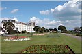
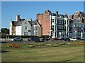
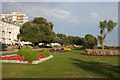
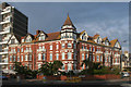
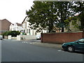
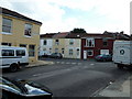
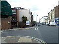
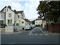
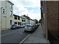
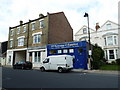
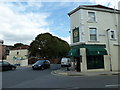
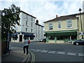
100 photos from this area
Area Information
Key information about the PO5 2LZ including its size, population, and administrative classification.
- Area Type
- Postcode
- Area Size
- 4776 m²
- Population
- 1627
- Population Density
- 10825 people/km²
House Prices in PO5 2LZ
18
Properties
£536,499
Average Sold Price
£90,000
Lowest Price
£880,000
Highest Price
Showing 18 properties
| Address | Type | Beds | Baths | Last Sale Price | Last Sale Date | |
|---|---|---|---|---|---|---|
| 11 Malvern Road, Southsea, PO5 2LZ | Terraced | 5 | 2 | £880,000 | Jun 2025 | |
| 3 Malvern Road, Southsea, PO5 2LZ | Terraced | 6 | 3 | £281,593 | Jan 2023 | |
| 31 Malvern Road, Southsea, PO5 2LZ | house | - | - | £605,000 | Dec 2021 | |
| 21 Malvern Road, Southsea, PO5 2LZ | house | - | - | £628,000 | Nov 2021 | |
| 7 Malvern Road, Southsea, PO5 2LZ | Terraced | 5 | 3 | £727,500 | Feb 2021 | |
| 15 Malvern Road, Southsea, PO5 2LZ | house | 6 | - | £615,000 | Nov 2019 | |
| 19 Malvern Road, Southsea, PO5 2LZ | Terraced | 1 | 3 | £620,000 | Oct 2019 | |
| 5 Malvern Road, Southsea, PO5 2LZ | Terraced | 5 | 3 | £700,000 | Dec 2018 | |
| 17 Malvern Road, Southsea, PO5 2LZ | house | - | - | £540,000 | Oct 2015 | |
| 23 Malvern Road, Southsea, PO5 2LZ | Terraced | 5 | - | £380,892 | May 2012 |
Page 1 of 2
Energy Efficiency in PO5 2LZ
Amenities
Schools
| Rank | School | Type | Entry gender | Ages |
|---|
Explore more schools in this area
Go to Schools tabDemographics
Household Size
One person
most common
Accommodation Type
Flats
most common
Tenure
48
majority
Ethnic Group
White
most common
Religion
N/A
most common
Household Composition
N/A
most common
Age
47
median
Adults (30-64 years)
most common
Household Deprivation
N/A
with no deprivation
NS-SEC
40
in Lower managerial occupations
Explore more demographic insights in this area
Go to Demographics tabPlanning
Planning Constraints
- Flood RiskPremium
- Ramsar Wetland SitesPremium
- Area of Outstanding Natural BeautyPremium
- Protected Nature ReservePremium
- Protected WoodlandPremium