Area Overview for PO4 8UG
Photos of PO4 8UG
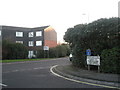
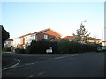
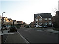
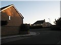
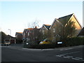
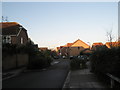
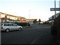
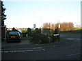
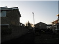
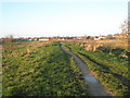
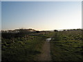
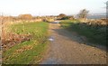
87 photos from this area
Area Information
Key information about the PO4 8UG including its size, population, and administrative classification.
- Area Type
- Postcode
- Area Size
- 1.3 hectares
- Population
- 1419
- Population Density
- 1963 people/km²
House Prices in PO4 8UG
39
Properties
£312,726
Average Sold Price
£95,000
Lowest Price
£790,000
Highest Price
Showing 39 properties
| Address | Type | Beds | Baths | Last Sale Price | Last Sale Date | |
|---|---|---|---|---|---|---|
| 50 Siskin Road, Southsea, PO4 8UG | Terraced | 4 | 2 | £450,000 | Dec 2025 | |
| 28 Siskin Road, Southsea, PO4 8UG | house | 4 | 2 | £790,000 | Mar 2025 | |
| 48 Siskin Road, Southsea, PO4 8UG | Terraced | 3 | 2 | £330,000 | Dec 2024 | |
| 15 Siskin Road, Southsea, PO4 8UG | Semi-detached | 3 | 2 | £395,000 | Apr 2024 | |
| 5 Siskin Road, Southsea, PO4 8UG | Detached | 4 | 2 | £545,000 | Mar 2024 | |
| 44 Siskin Road, Southsea, PO4 8UG | house | 3 | 2 | £300,000 | Feb 2023 | |
| 29 Siskin Road, Southsea, PO4 8UG | house | 3 | 2 | £455,000 | May 2022 | |
| 19 Siskin Road, Southsea, PO4 8UG | house | - | - | £640,000 | Mar 2022 | |
| 24 Siskin Road, Southsea, PO4 8UG | house | - | - | £594,995 | Sep 2021 | |
| 12 Siskin Road, Southsea, PO4 8UG | house | - | - | £415,000 | Feb 2021 |
Page 1 of 4
Energy Efficiency in PO4 8UG
Amenities
Schools
| Rank | School | Type | Entry gender | Ages |
|---|
Explore more schools in this area
Go to Schools tabDemographics
Household Size
Two person
most common
Accommodation Type
Houses
most common
Tenure
78
majority
Ethnic Group
White
most common
Religion
N/A
most common
Household Composition
N/A
most common
Age
47
median
Adults (30-64 years)
most common
Household Deprivation
N/A
with no deprivation
NS-SEC
33
in Lower managerial occupations
Explore more demographic insights in this area
Go to Demographics tabPlanning
Planning Constraints
- Flood RiskPremium
- Ramsar Wetland SitesPremium
- Area of Outstanding Natural BeautyPremium
- Protected Nature ReservePremium
- Protected WoodlandPremium