Area Overview for PO4 8LL
Photos of PO4 8LL
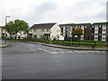
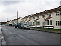
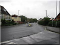
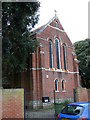
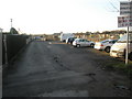
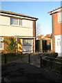
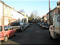
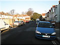
100 photos from this area
Area Information
Key information about the PO4 8LL including its size, population, and administrative classification.
- Area Type
- Postcode
- Area Size
- 9.1 hectares
- Population
- 1114
- Population Density
- 2026 people/km²
House Prices in PO4 8LL
41
Properties
£192,669
Average Sold Price
£36,000
Lowest Price
£345,000
Highest Price
Showing 41 properties
| Address | Type | Beds | Baths | Last Sale Price | Last Sale Date | |
|---|---|---|---|---|---|---|
| 1 Seaway Crescent, Southsea, PO4 8LL | Terraced | 3 | 1 | £345,000 | Jun 2024 | |
| 39 Seaway Crescent, Southsea, PO4 8LL | Terraced | 3 | 1 | £298,000 | Apr 2024 | |
| 4 Seaway Crescent, Southsea, PO4 8LL | Terraced | 3 | 1 | £283,000 | Sep 2023 | |
| 7 Seaway Crescent, Southsea, PO4 8LL | Terraced | 3 | 1 | £275,000 | Nov 2021 | |
| 15 Seaway Crescent, Southsea, PO4 8LL | house | - | - | £250,000 | May 2021 | |
| 11 Seaway Crescent, Southsea, PO4 8LL | Terraced | - | - | £102,274 | Nov 2019 | |
| 47 Seaway Crescent, Southsea, PO4 8LL | Terraced | 3 | 1 | £275,950 | Feb 2019 | |
| 23 Seaway Crescent, Southsea, PO4 8LL | Terraced | 3 | 1 | £225,000 | Jun 2018 | |
| 35 Seaway Crescent, Southsea, PO4 8LL | Terraced | 3 | 1 | £228,000 | Jun 2017 | |
| 29 Seaway Crescent, Southsea, PO4 8LL | house | - | - | £236,000 | Aug 2016 |
Page 1 of 5
Energy Efficiency in PO4 8LL
Amenities
Schools
| Rank | School | Type | Entry gender | Ages |
|---|
Explore more schools in this area
Go to Schools tabDemographics
Household Size
One person
most common
Accommodation Type
Houses
most common
Tenure
63
majority
Ethnic Group
White
most common
Religion
N/A
most common
Household Composition
N/A
most common
Age
47
median
Adults (30-64 years)
most common
Household Deprivation
N/A
with no deprivation
NS-SEC
31
in Lower managerial occupations
Explore more demographic insights in this area
Go to Demographics tabPlanning
Planning Constraints
- Flood RiskPremium
- Ramsar Wetland SitesPremium
- Area of Outstanding Natural BeautyPremium
- Protected Nature ReservePremium
- Protected WoodlandPremium