Area Overview for PO4 8HB
Photos of PO4 8HB
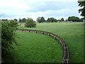
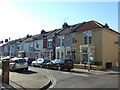
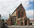
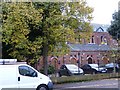
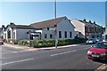
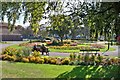

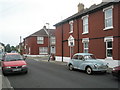
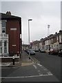
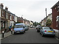
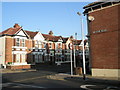
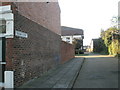
100 photos from this area
Area Information
Key information about the PO4 8HB including its size, population, and administrative classification.
- Area Type
- Postcode
- Area Size
- 5961 m²
- Population
- 1387
- Population Density
- 7723 people/km²
House Prices in PO4 8HB
22
Properties
£253,204
Average Sold Price
£62,000
Lowest Price
£395,000
Highest Price
Showing 22 properties
| Address | Type | Beds | Baths | Last Sale Price | Last Sale Date | |
|---|---|---|---|---|---|---|
| 18 Hester Road, Southsea, PO4 8HB | Terraced | 3 | 1 | £330,000 | Nov 2024 | |
| 16 Hester Road, Southsea, PO4 8HB | Retail | 4 | 1 | £350,000 | Apr 2022 | |
| 4 Hester Road, Southsea, PO4 8HB | Retail | 4 | 1 | £364,220 | Mar 2022 | |
| 2 Hester Road, Southsea, PO4 8HB | house | - | - | £395,000 | Dec 2021 | |
| 10 Hester Road, Southsea, PO4 8HB | Terraced | 1 | 1 | £355,000 | Sep 2021 | |
| 1 Hester Road, Southsea, PO4 8HB | Semi-detached | 3 | 1 | £178,000 | Sep 2021 | |
| 8 Hester Road, Southsea, PO4 8HB | house | - | - | £336,950 | Aug 2021 | |
| 3 Hester Road, Southsea, PO4 8HB | Terraced | 3 | 1 | £248,000 | Jun 2021 | |
| 6 Hester Road, Southsea, PO4 8HB | Semi-detached | 4 | 1 | £319,190 | Apr 2021 | |
| 22 Hester Road, Southsea, PO4 8HB | Terraced | 6 | 2 | £245,000 | Mar 2020 |
Page 1 of 3
Energy Efficiency in PO4 8HB
Amenities
Schools
| Rank | School | Type | Entry gender | Ages |
|---|
Explore more schools in this area
Go to Schools tabDemographics
Household Size
One person
most common
Accommodation Type
Houses
most common
Tenure
72
majority
Ethnic Group
White
most common
Religion
N/A
most common
Household Composition
N/A
most common
Age
47
median
Adults (30-64 years)
most common
Household Deprivation
N/A
with no deprivation
NS-SEC
35
in Lower managerial occupations
Explore more demographic insights in this area
Go to Demographics tabPlanning
Planning Constraints
- Flood RiskPremium
- Ramsar Wetland SitesPremium
- Area of Outstanding Natural BeautyPremium
- Protected Nature ReservePremium
- Protected WoodlandPremium