Area Overview for PO3 5EN
Photos of PO3 5EN
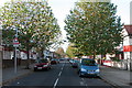
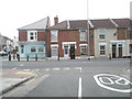
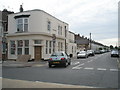
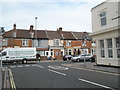
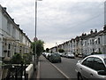
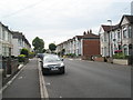
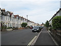
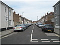
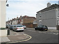
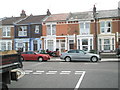
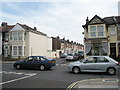
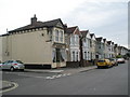
100 photos from this area
Area Information
Key information about the PO3 5EN including its size, population, and administrative classification.
- Area Type
- Postcode
- Area Size
- 7102 m²
- Population
- 1501
- Population Density
- 2660 people/km²
House Prices in PO3 5EN
19
Properties
£202,346
Average Sold Price
£72,500
Lowest Price
£385,000
Highest Price
Showing 19 properties
| Address | Type | Beds | Baths | Last Sale Price | Last Sale Date | |
|---|---|---|---|---|---|---|
| 360 Copnor Road, Portsmouth, PO3 5EN | Terraced | 3 | 1 | £385,000 | Feb 2023 | |
| 370 Copnor Road, Portsmouth, PO3 5EN | Terraced | 3 | 1 | £350,000 | Mar 2022 | |
| 380 Copnor Road, Portsmouth, PO3 5EN | Terraced | 3 | 1 | £257,500 | May 2019 | |
| 376 Copnor Road, Portsmouth, PO3 5EN | house | - | - | £225,000 | Nov 2016 | |
| 374 Copnor Road, Portsmouth, PO3 5EN | house | - | - | £220,000 | Jun 2015 | |
| 388 Copnor Road, Portsmouth, PO3 5EN | house | 3 | - | £210,000 | Sep 2014 | |
| 378 Copnor Road, Portsmouth, PO3 5EN | house | - | - | £175,000 | Nov 2013 | |
| 366 Copnor Road, Portsmouth, PO3 5EN | house | - | - | £185,000 | Nov 2013 | |
| 390 Copnor Road, Portsmouth, PO3 5EN | house | 3 | 1 | £178,000 | Aug 2010 | |
| 392 Copnor Road, Portsmouth, PO3 5EN | Terraced | - | - | £185,000 | May 2006 |
Page 1 of 2
Energy Efficiency in PO3 5EN
Amenities
Schools
| Rank | School | Type | Entry gender | Ages |
|---|
Explore more schools in this area
Go to Schools tabDemographics
Household Size
Family (3-5 people)
most common
Accommodation Type
Houses
most common
Tenure
84
majority
Ethnic Group
White
most common
Religion
N/A
most common
Household Composition
N/A
most common
Age
47
median
Adults (30-64 years)
most common
Household Deprivation
N/A
with no deprivation
NS-SEC
31
in Lower managerial occupations
Explore more demographic insights in this area
Go to Demographics tabPlanning
Planning Constraints
- Flood RiskPremium
- Ramsar Wetland SitesPremium
- Area of Outstanding Natural BeautyPremium
- Protected Nature ReservePremium
- Protected WoodlandPremium