Area Overview for PO22 9BD
Photos of PO22 9BD
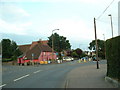
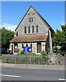
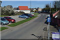
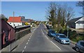
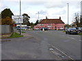
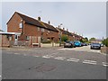
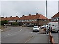
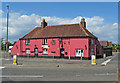
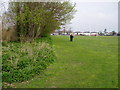
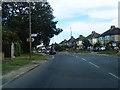
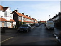
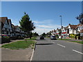
29 photos from this area
Area Information
Key information about the PO22 9BD including its size, population, and administrative classification.
- Area Type
- Postcode
- Area Size
- 7079 m²
- Population
- 1390
- Population Density
- 5338 people/km²
House Prices in PO22 9BD
16
Properties
£236,146
Average Sold Price
£176,000
Lowest Price
£320,000
Highest Price
Showing 16 properties
| Address | Type | Beds | Baths | Last Sale Price | Last Sale Date | |
|---|---|---|---|---|---|---|
| 9 Romney Broadwalk, Bersted, PO22 9BD | Bungalow | 3 | 2 | £320,000 | May 2021 | |
| 2 Romney Broadwalk, Bersted, PO22 9BD | Bungalow | - | - | £320,000 | May 2021 | |
| 11 Romney Broadwalk, Bersted, PO22 9BD | Detached | 3 | 2 | £227,500 | Oct 2020 | |
| 12 Romney Broadwalk, Bersted, PO22 9BD | Bungalow | 4 | 2 | £250,000 | Aug 2020 | |
| 10 Romney Broadwalk, Bersted, PO22 9BD | Bungalow | 2 | 1 | £260,000 | Dec 2019 | |
| 16 Romney Broadwalk, Bersted, PO22 9BD | Semi-detached | 3 | 1 | £291,000 | Apr 2017 | |
| 6 Romney Broadwalk, Bersted, PO22 9BD | Semi-detached | 2 | 2 | £235,000 | Apr 2017 | |
| 1 Romney Broadwalk, Bersted, PO22 9BD | Bungalow | 3 | - | £178,750 | Jul 2013 | |
| 8 Romney Broadwalk, Bersted, PO22 9BD | Bungalow | - | - | £202,500 | Dec 2012 | |
| 14 Romney Broadwalk, Bersted, PO22 9BD | Bungalow | - | - | £185,000 | Jul 2011 |
Page 1 of 2
Energy Efficiency in PO22 9BD
Amenities
Schools
| Rank | School | Type | Entry gender | Ages |
|---|
Explore more schools in this area
Go to Schools tabDemographics
Household Size
Two person
most common
Accommodation Type
Houses
most common
Tenure
81
majority
Ethnic Group
White
most common
Religion
N/A
most common
Household Composition
N/A
most common
Age
47
median
Adults (30-64 years)
most common
Household Deprivation
N/A
with no deprivation
NS-SEC
23
in Lower managerial occupations
Explore more demographic insights in this area
Go to Demographics tabPlanning
Planning Constraints
- Flood RiskPremium
- Ramsar Wetland SitesPremium
- Area of Outstanding Natural BeautyPremium
- Protected Nature ReservePremium
- Protected WoodlandPremium