Area Overview for PO22 7LT
Photos of PO22 7LT
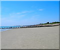
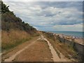
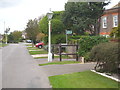
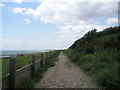
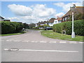
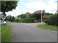
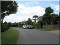
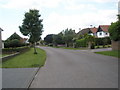
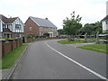
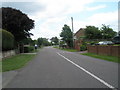
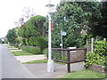
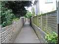
78 photos from this area
Area Information
Key information about the PO22 7LT including its size, population, and administrative classification.
- Area Type
- Postcode
- Area Size
- 1.7 hectares
- Population
- 1518
- Population Density
- 2526 people/km²
House Prices in PO22 7LT
19
Properties
£494,696
Average Sold Price
£195,000
Lowest Price
£875,000
Highest Price
Showing 19 properties
| Address | Type | Beds | Baths | Last Sale Price | Last Sale Date | |
|---|---|---|---|---|---|---|
| 31 Crossbush Road, Felpham, PO22 7LT | Detached | 5 | 3 | £800,000 | Jan 2025 | |
| 24 Crossbush Road, Felpham, PO22 7LT | Detached | 4 | 2 | £663,750 | Jul 2021 | |
| Coastway House, 37 Crossbush Road, Felpham, PO22 7LT | Detached | 4 | 3 | £875,000 | Nov 2020 | |
| 22 Crossbush Road, Felpham, PO22 7LT | Detached | 4 | 2 | £647,000 | Nov 2017 | |
| 45 Crossbush Road, Felpham, PO22 7LT | Detached | - | - | £535,000 | Mar 2017 | |
| Knightsgate, 41 Crossbush Road, Felpham, PO22 7LT | Detached | 5 | - | £665,000 | Oct 2014 | |
| 36 Crossbush Road, Felpham, PO22 7LT | Detached | 4 | 2 | £440,000 | Apr 2012 | |
| 28 Crossbush Road, Felpham, PO22 7LT | house | 3 | - | £358,000 | Jul 2010 | |
| 39 Crossbush Road, Felpham, PO22 7LT | Detached | 5 | 2 | £475,000 | Aug 2009 | |
| 34 Crossbush Road, Felpham, PO22 7LT | Detached | - | - | £450,000 | Jun 2004 |
Page 1 of 2
Energy Efficiency in PO22 7LT
Amenities
Schools
| Rank | School | Type | Entry gender | Ages |
|---|
Explore more schools in this area
Go to Schools tabDemographics
Household Size
Two person
most common
Accommodation Type
Houses
most common
Tenure
92
majority
Ethnic Group
White
most common
Religion
N/A
most common
Household Composition
N/A
most common
Age
47
median
Adults (30-64 years)
most common
Household Deprivation
N/A
with no deprivation
NS-SEC
43
in Lower managerial occupations
Explore more demographic insights in this area
Go to Demographics tabPlanning
Planning Constraints
- Flood RiskPremium
- Ramsar Wetland SitesPremium
- Area of Outstanding Natural BeautyPremium
- Protected Nature ReservePremium
- Protected WoodlandPremium