Area Overview for PO22 6LH
Photos of PO22 6LH
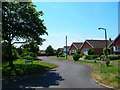
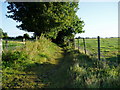
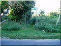
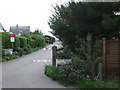
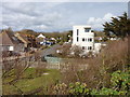
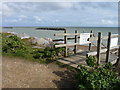
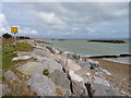
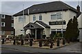
34 photos from this area
Area Information
Key information about the PO22 6LH including its size, population, and administrative classification.
- Area Type
- Postcode
- Area Size
- 1.3 hectares
- Population
- 1515
- Population Density
- 1186 people/km²
House Prices in PO22 6LH
28
Properties
£239,944
Average Sold Price
£160,000
Lowest Price
£385,000
Highest Price
Showing 28 properties
| Address | Type | Beds | Baths | Last Sale Price | Last Sale Date | |
|---|---|---|---|---|---|---|
| 117 Elmer Road, Middleton On Sea, PO22 6LH | Detached | 3 | 2 | £355,000 | Apr 2022 | |
| 115 Elmer Road, Middleton On Sea, PO22 6LH | house | - | - | £385,000 | Jun 2021 | |
| 103 Elmer Road, Middleton On Sea, PO22 6LH | Detached | - | - | £200,000 | Jul 2018 | |
| 129 Elmer Road, Middleton On Sea, PO22 6LH | Bungalow | 2 | 1 | £207,500 | Jun 2018 | |
| 127 Elmer Road, Middleton On Sea, PO22 6LH | Semi-detached | 2 | 1 | £250,000 | Apr 2018 | |
| 125 Elmer Road, Middleton On Sea, PO22 6LH | Bungalow | - | - | £170,000 | Aug 2009 | |
| 111 Elmer Road, Middleton On Sea, PO22 6LH | Detached | - | - | £242,000 | Jul 2005 | |
| 119 Elmer Road, Middleton On Sea, PO22 6LH | Detached | - | - | £190,000 | Jul 2004 | |
| 107 Elmer Road, Middleton On Sea, PO22 6LH | Detached | - | - | £160,000 | Jul 2003 | |
| Flat 5, Carissima Court, 99 Elmer Road, Middleton On Sea, PO22 6LH | Flat | 3 | 1 | - | - |
Page 1 of 3
Energy Efficiency in PO22 6LH
Amenities
Schools
| Rank | School | Type | Entry gender | Ages |
|---|
Explore more schools in this area
Go to Schools tabDemographics
Household Size
Two person
most common
Accommodation Type
Houses
most common
Tenure
87
majority
Ethnic Group
White
most common
Religion
N/A
most common
Household Composition
N/A
most common
Age
47
median
Elderly (65+ years)
most common
Household Deprivation
N/A
with no deprivation
NS-SEC
34
in Lower managerial occupations
Explore more demographic insights in this area
Go to Demographics tabPlanning
Planning Constraints
- Flood RiskPremium
- Ramsar Wetland SitesPremium
- Area of Outstanding Natural BeautyPremium
- Protected Nature ReservePremium
- Protected WoodlandPremium